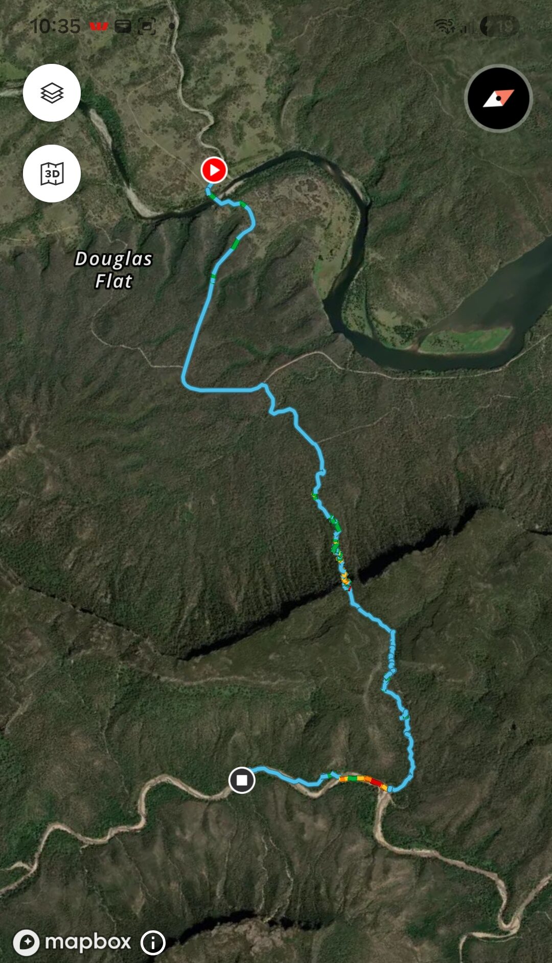
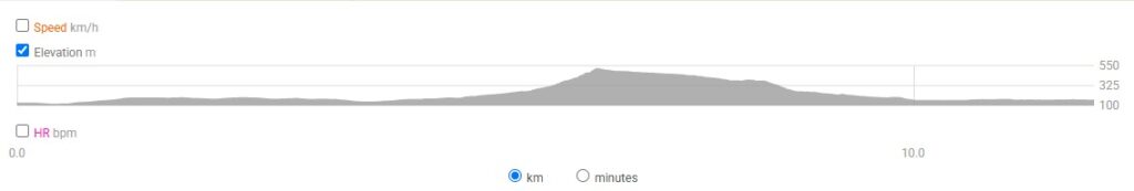
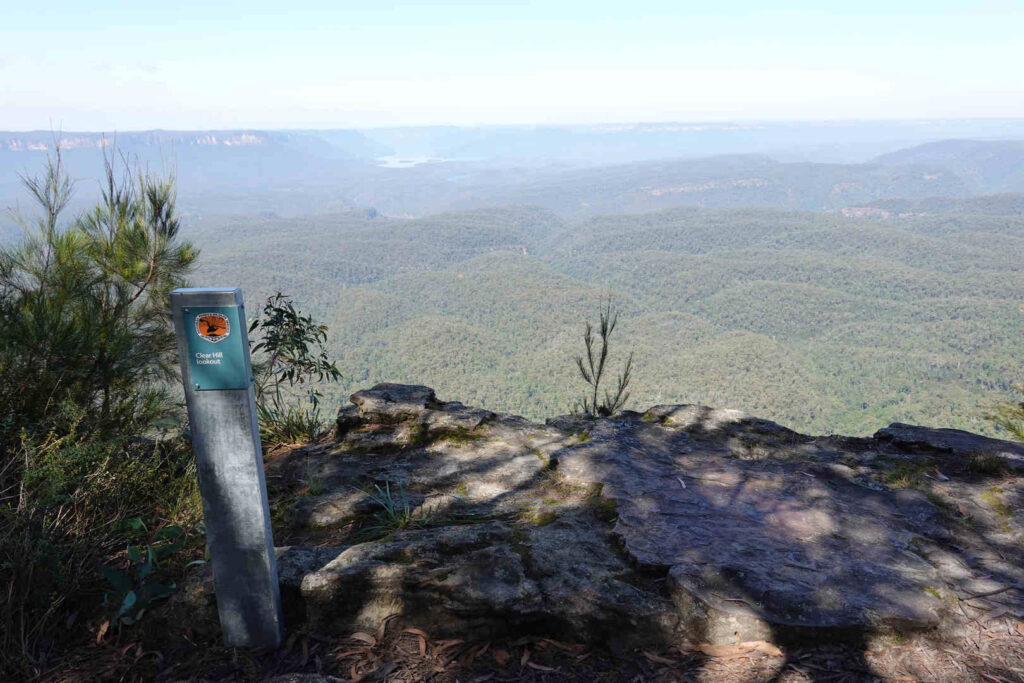
We knew this would be a tough day. If you look at the stats above we did 11.8km in almost 9 hours. So most of the time we were travelling well under 1km /per hour. This is not my first time but I could have done without the heavy rain. The walk comprised:
1. Flatish, easy walking from the Wollondilly to the Belloon Pass track.
2. The Bellon pass track (there was no track)
3. The walk down Travis Gully in the pouring rain.
4. Walk down the Wollondilly a couple of kms.
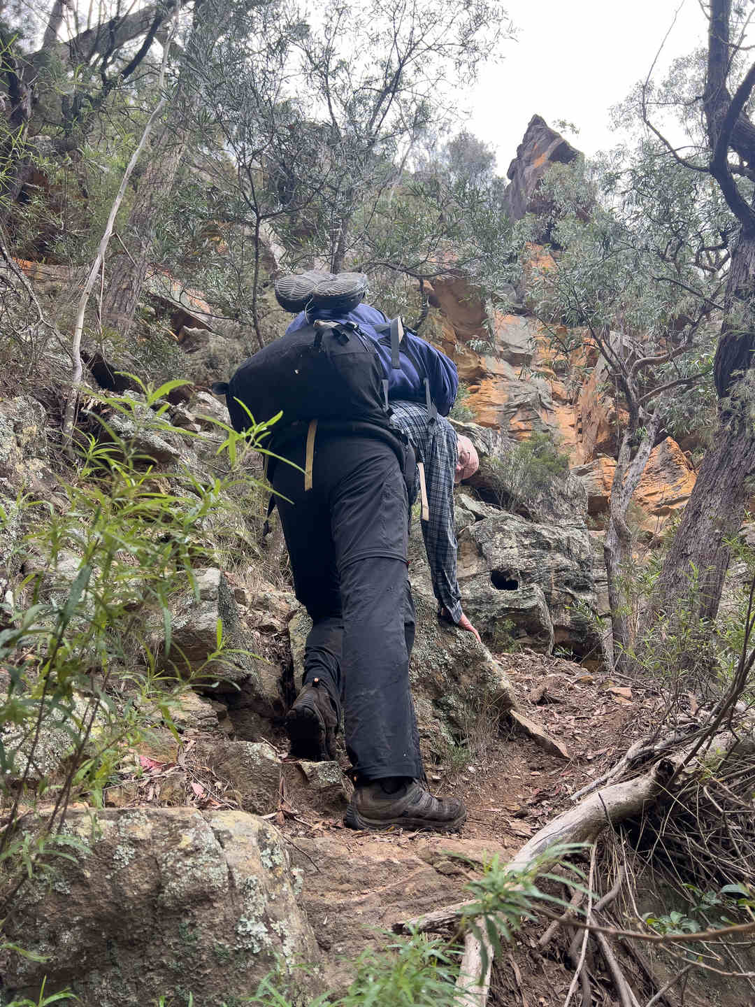
The last time I did this section of the walk there was a track up to Bellon Pass. This time there was no track at all and no indicator at the turn off other than two rocks piled on one another. The navigation wasn’t difficult a due east bearing had us heading in the right direction and if you are following your compass the break in the cliff where the pass is becomes obvious once the hill starts to get very steep. I like the climb up Belloon Pass. It is very defintely a pass, that is, if you miss it you will be faced with inpenetrable cliff lines. Also while the last 30 or so metres is a scramble, you are always pretty safe on the climb, with no sigificant exposure at any stage.
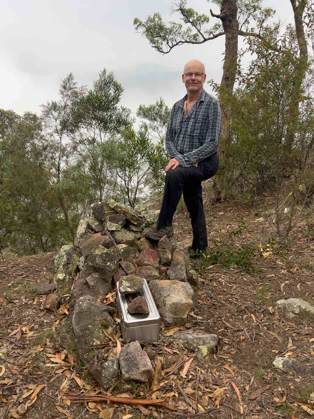
Once of the top of Belloon Pass there is a log book in toolbox on a cairn. We were only the second entry in the log book for that calendar year.
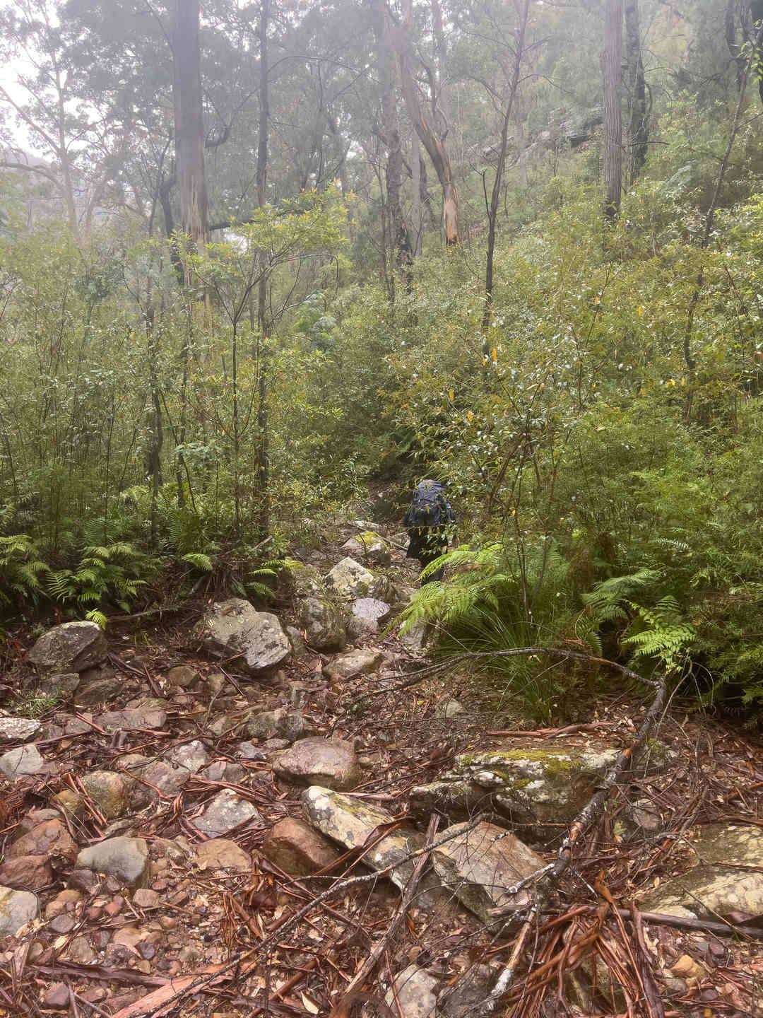
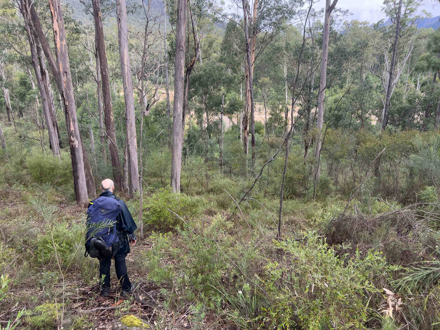
Once we had departed the top of Bellon Pass it started to rain and rain pretty heavily. The track down Travis Gully is difficult and slightly dangerous under good conditions, so it was not much fun in the rain. Travis Gully is one of those bits of bushwalking you will always remember. Travis Gully is no more complex than walking down a creek, but it is slow and difficult going and in the wet you are always unsure if the next step you take will stick or side. When Robert Sloss wrote his book the idea was to leave the creek as soon as you could and follow a track down a slope. Some 25 years later there is no track and the slope is so overgrown with vegetation that is as slow, and possibly slower, than the gully.
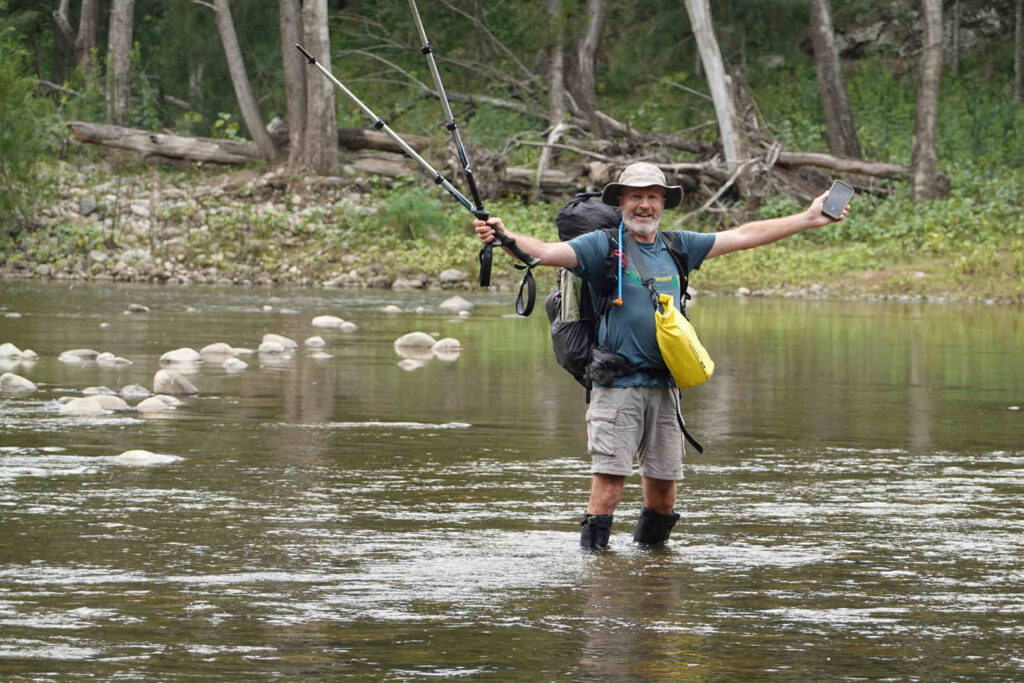
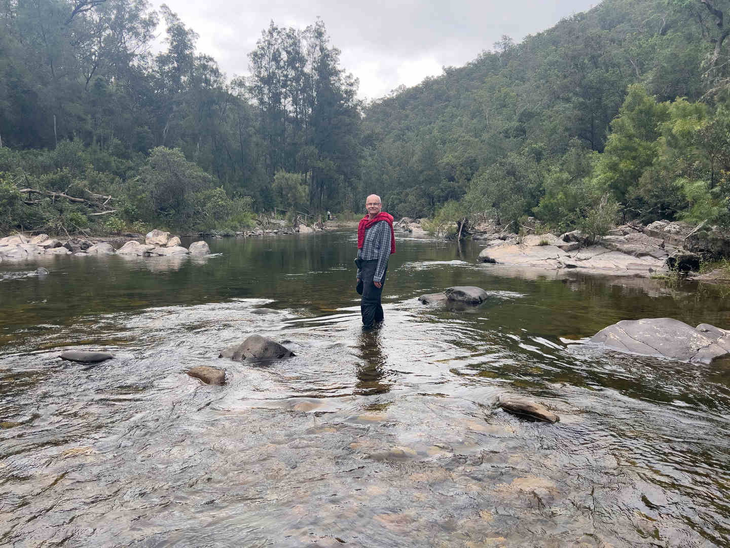
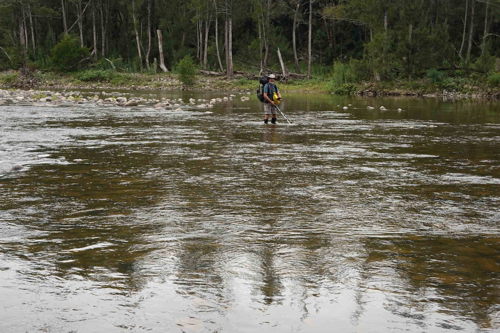
David crossing the Wollondilly at Murphy’s crossing.
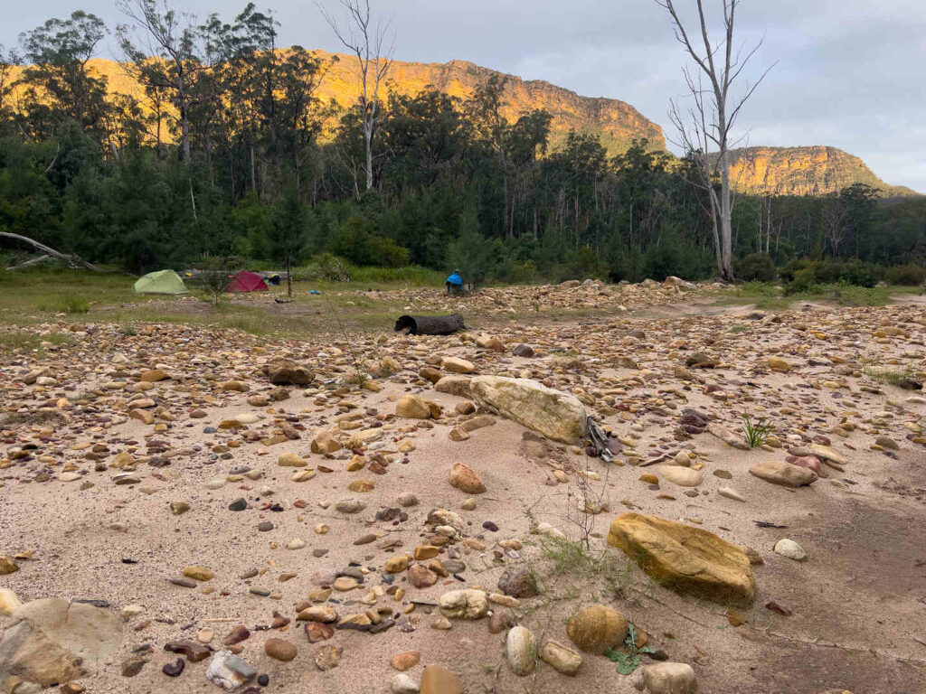
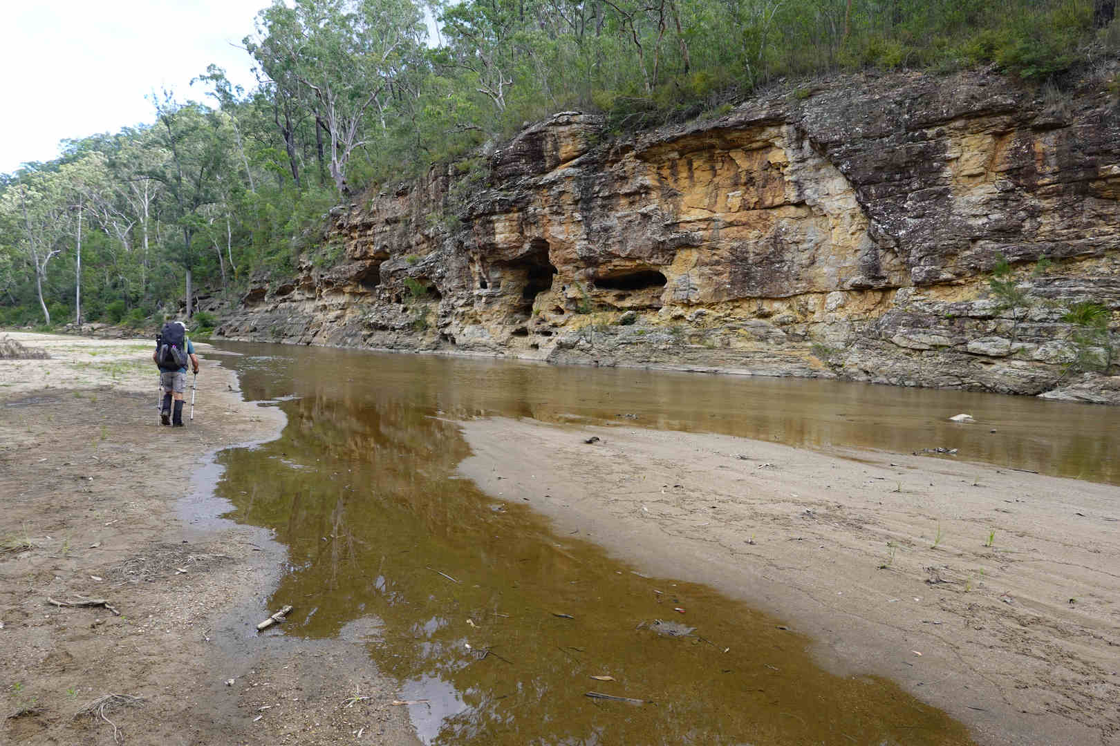
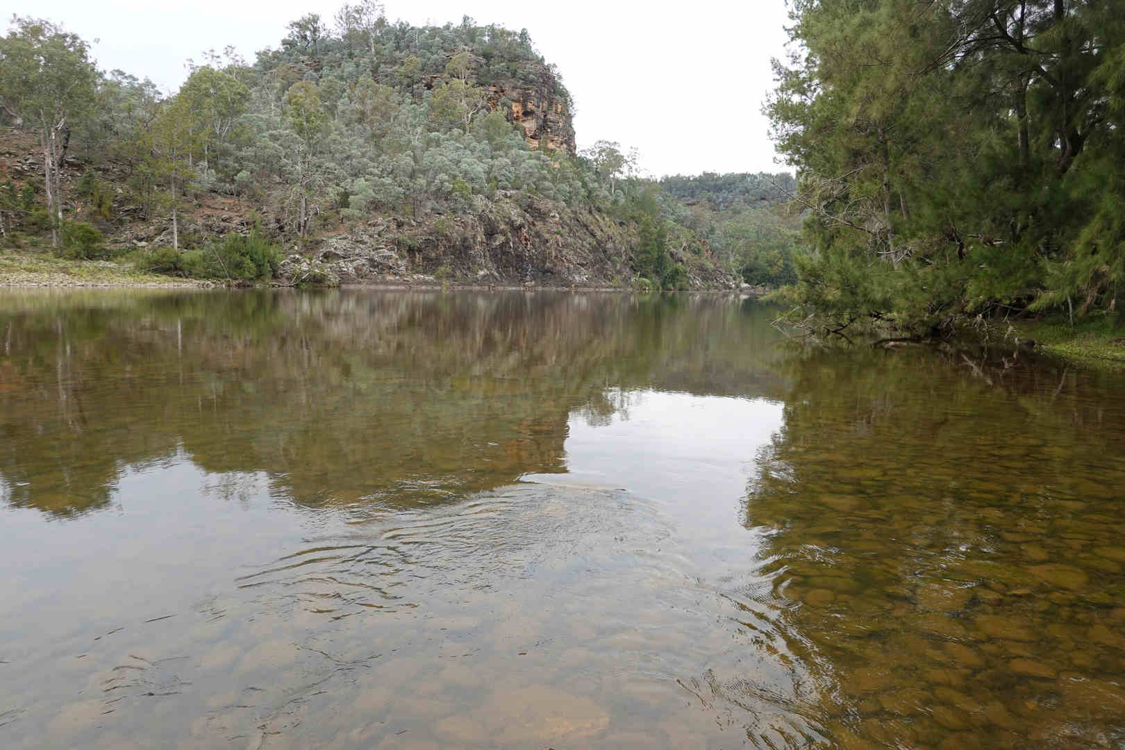
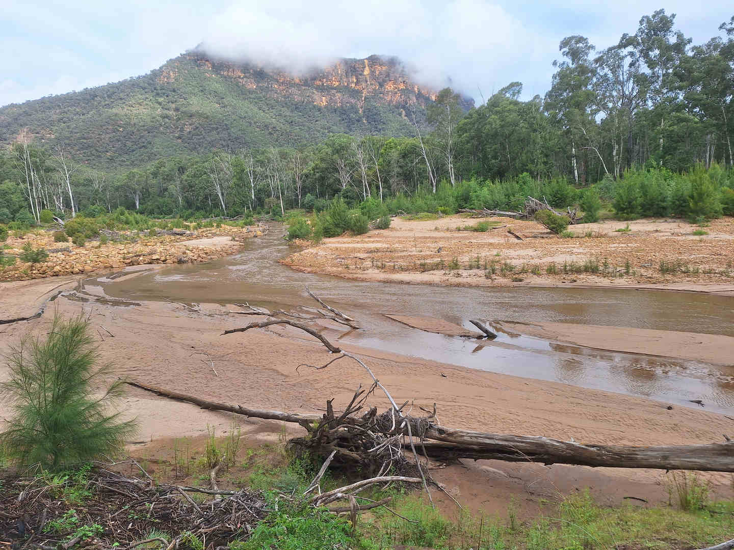
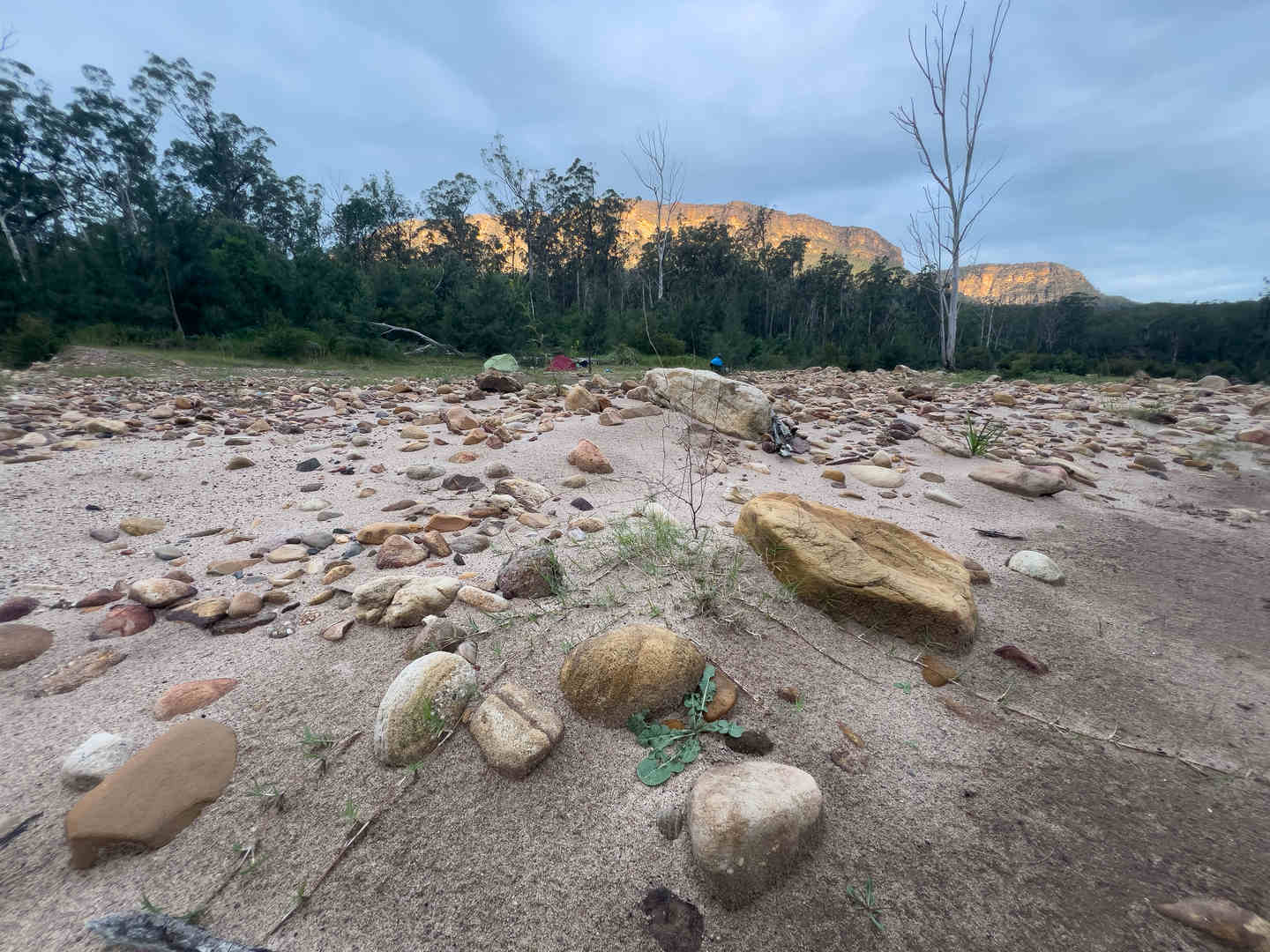
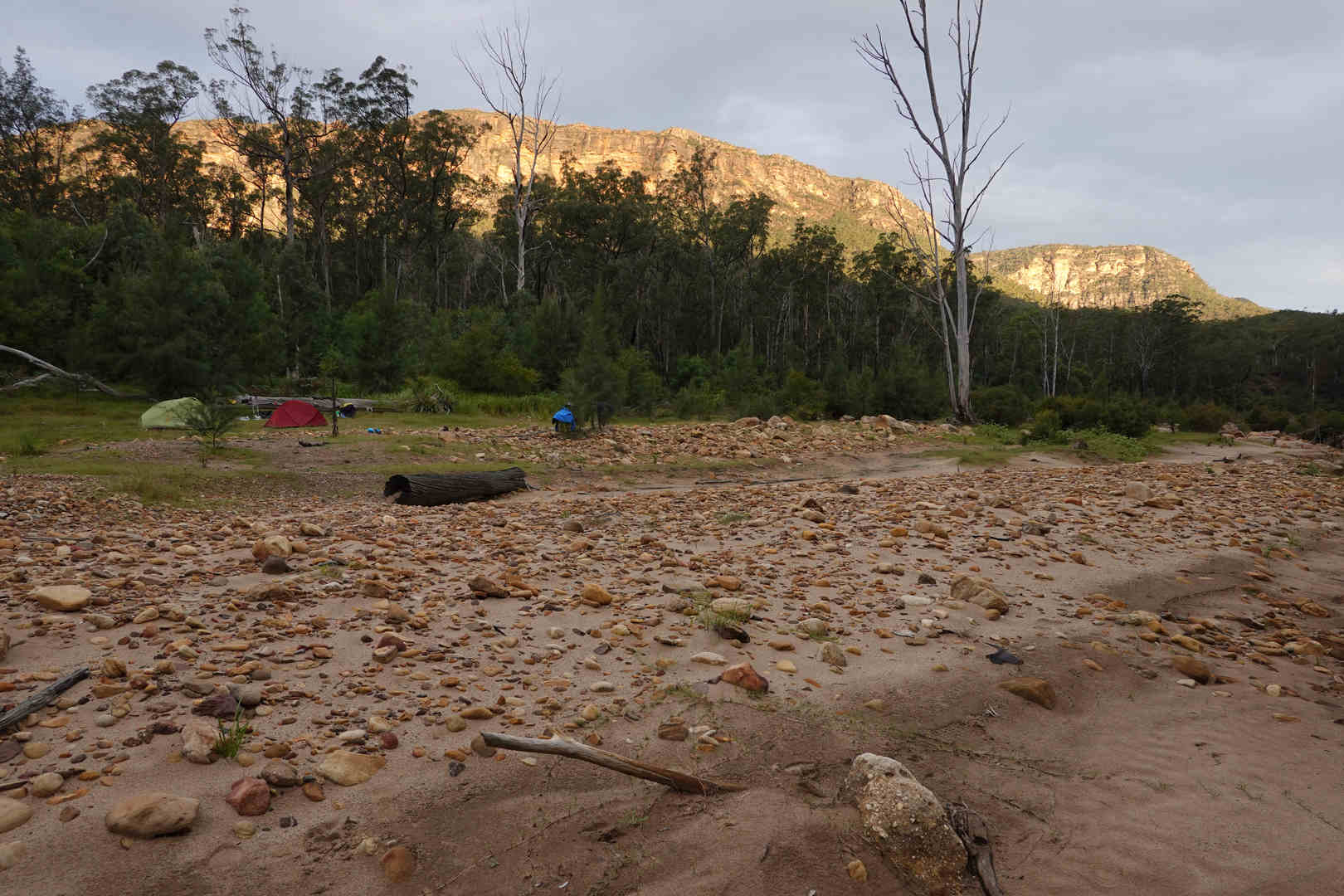
Afer what seemed like forever, we got to the base of Travis Gully and we could see the Nattai. It took us three hours to walk about 2.5 kms down Travis Gully. Once we got to the Nattai we stopped for a late lunch and then walked down the Nattai for a couple of kms untill we found a nice place to camp for the night.
You can see the phases of our walk on the hill profile. A long gradual ascent along a good fire trail, followed by a steep off track ascent to the top of Belloon Pass. This was followed by a slow and tortuous walk down Travis Gully and then the day finished with a couple of km of relatively flat walking down the Nattai. I think it is fair to say that we were both very glad to stop walking for the day and we were happy that we had managed well through a difficult day’s walk.
