I have done a number of walks in the area before, so this trip was not entirely new new me. Also in preparation for this trip we decided that I would cache some food on the Wollondilly River, so that we did not have to carry food for 8 days.
Some of the trips I had done in the area includes:
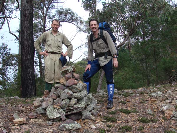
This is a photo of John Clancy and Julian Ledger taken at the top of Beloon Pass during our 2008 walk.
Interestingly, back then it rained a few minutes after this photo was taken and the same thing happened this time as well.
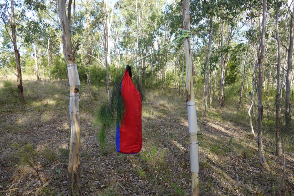
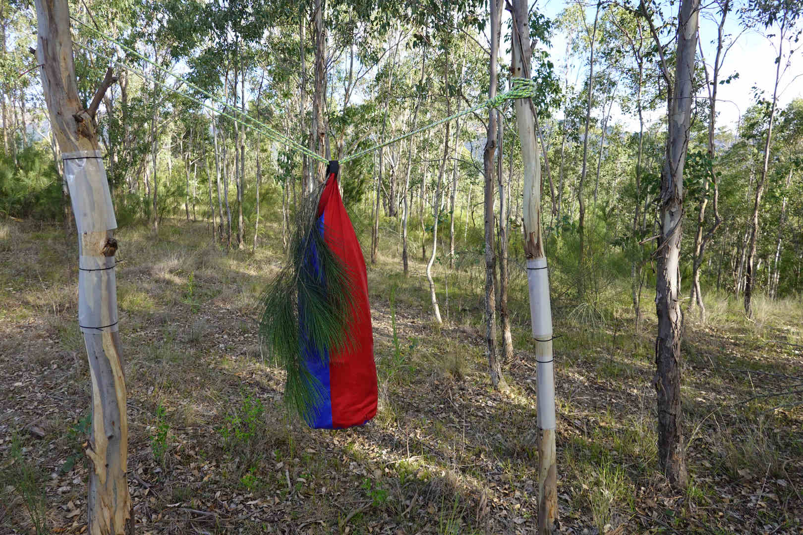
David and I decided to cache some food before we started the walk, so we did not have to carry food for the planned 8 days. There were two sensible options for doing this:
1. Drive 5 hours each way to Yerranderie to leave food there.
2. Walk or mountain bike from High Range to Murphy’s Crossing at the Wollondilly.
In the end, I decided to walk from High Range to Murphy’s Crossing to cache some food.
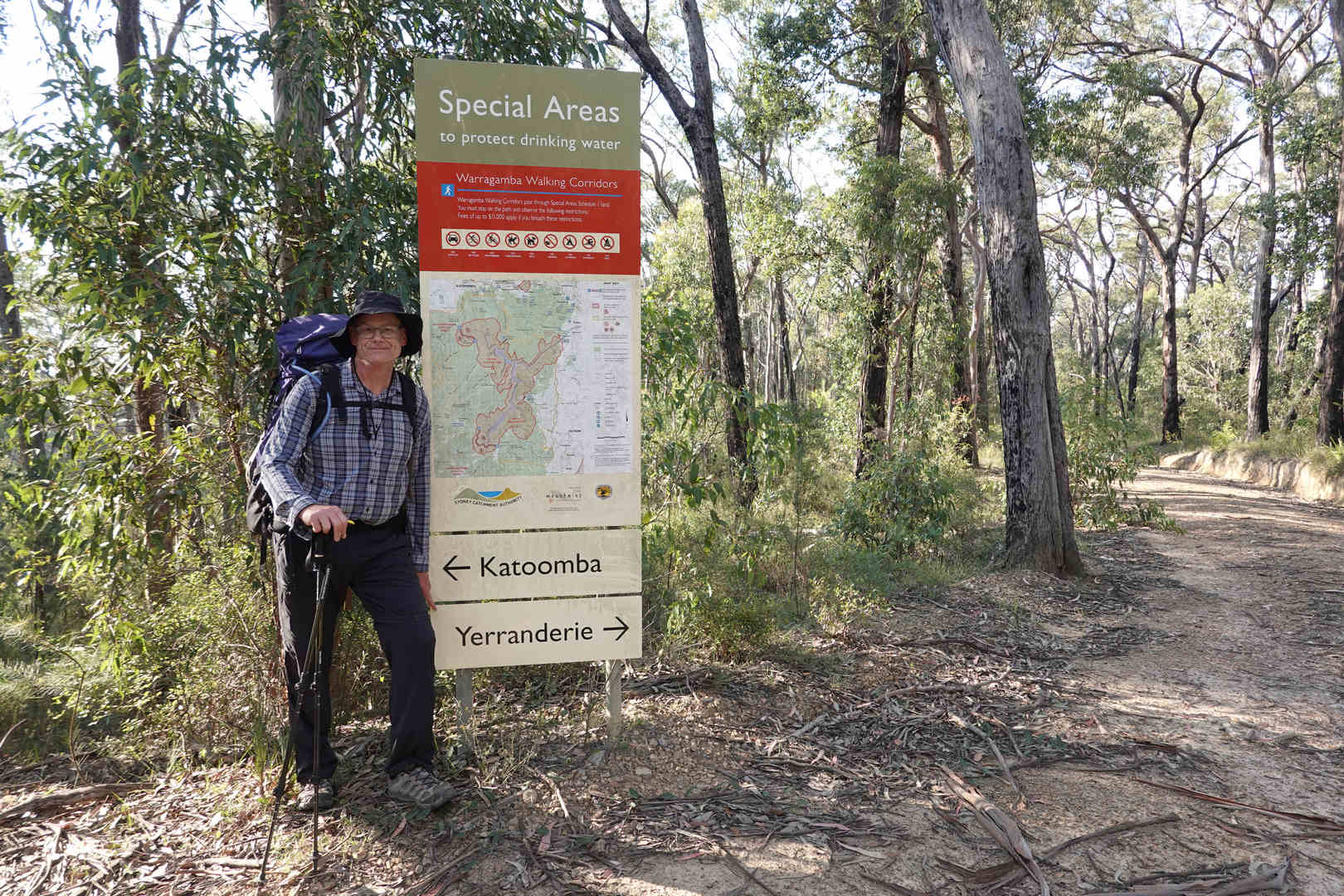
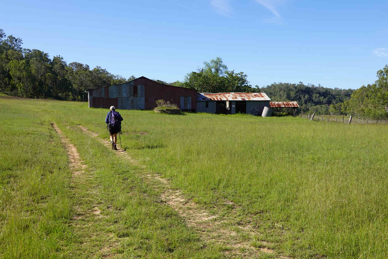
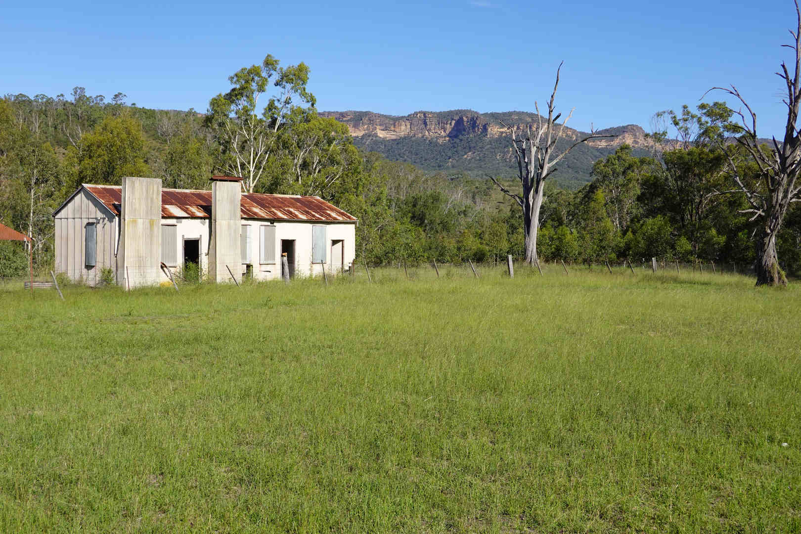
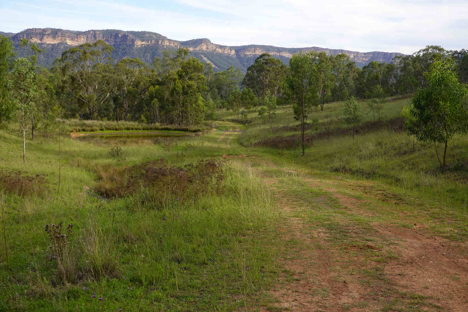
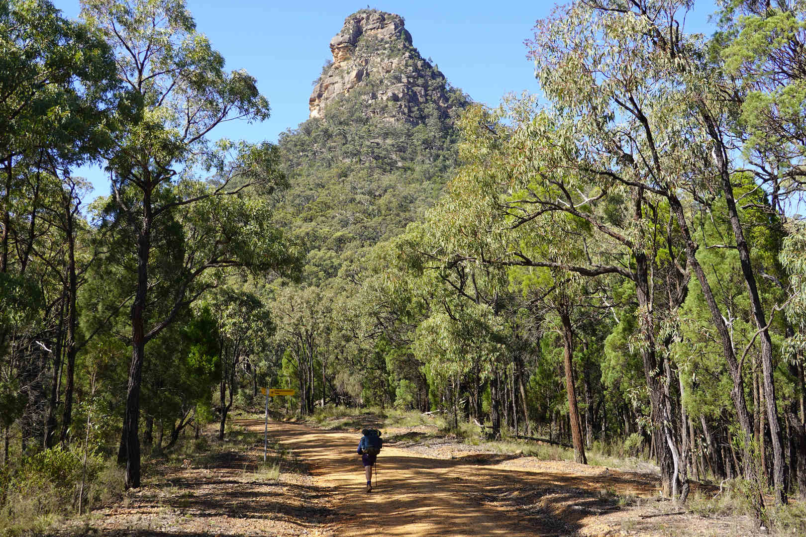
Walking from High Range to Murphy’s Crossing is pretty much a full weekend’s walk. Fortunately, John Clancy offered to join me in this walk because he was keen to revisit the Jooriland area, which is quite picturesque and seldom walked.
Unfortunately, the weekend we picked to do this, I was sick with bronchitis and whille the spirt was willing, the body was struggling with the walk. I made it and had a good time, but I would have enjoyed the walk much more if I had been well at the time. I couldn’t defer my planned food cache trip becasue we had planned to start the full walk about 5 days later. In the end, we ended up defering the full walk by a couple of weeks due to rain.
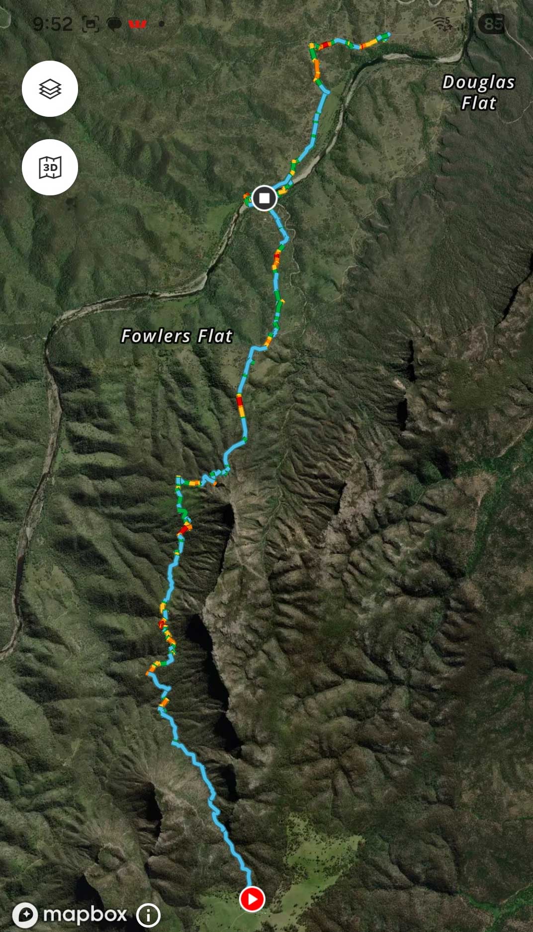
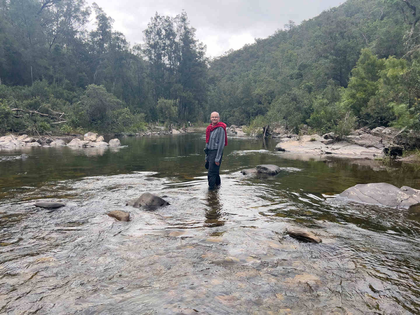
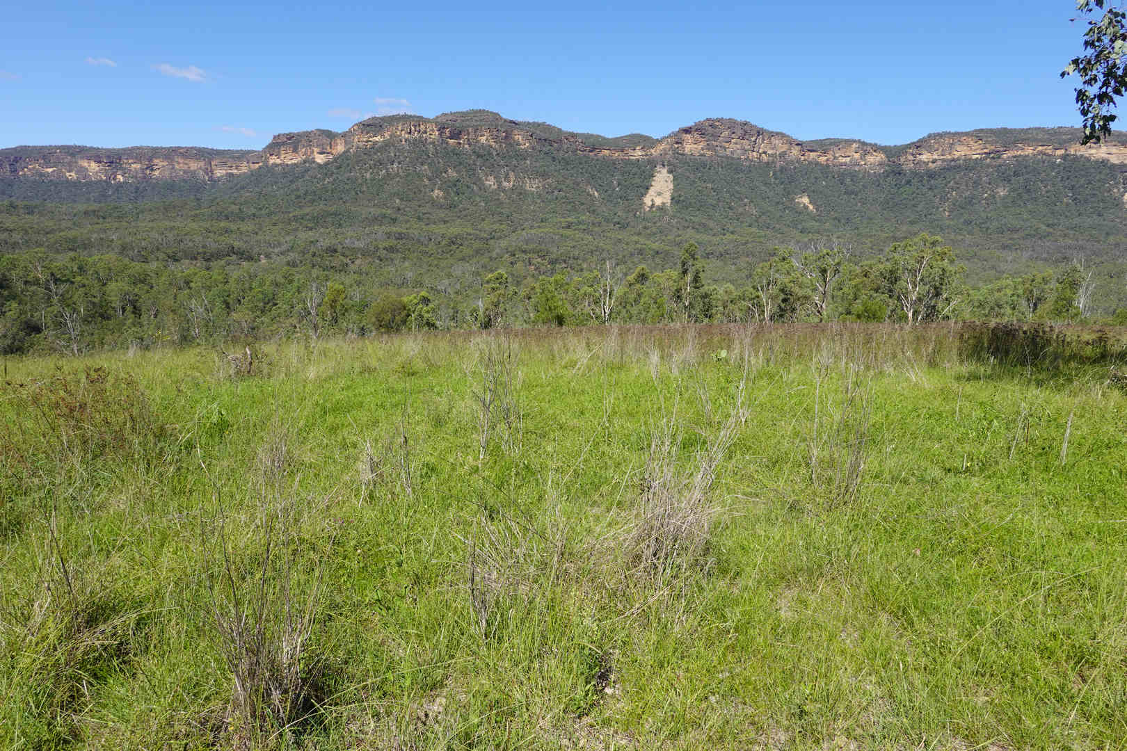
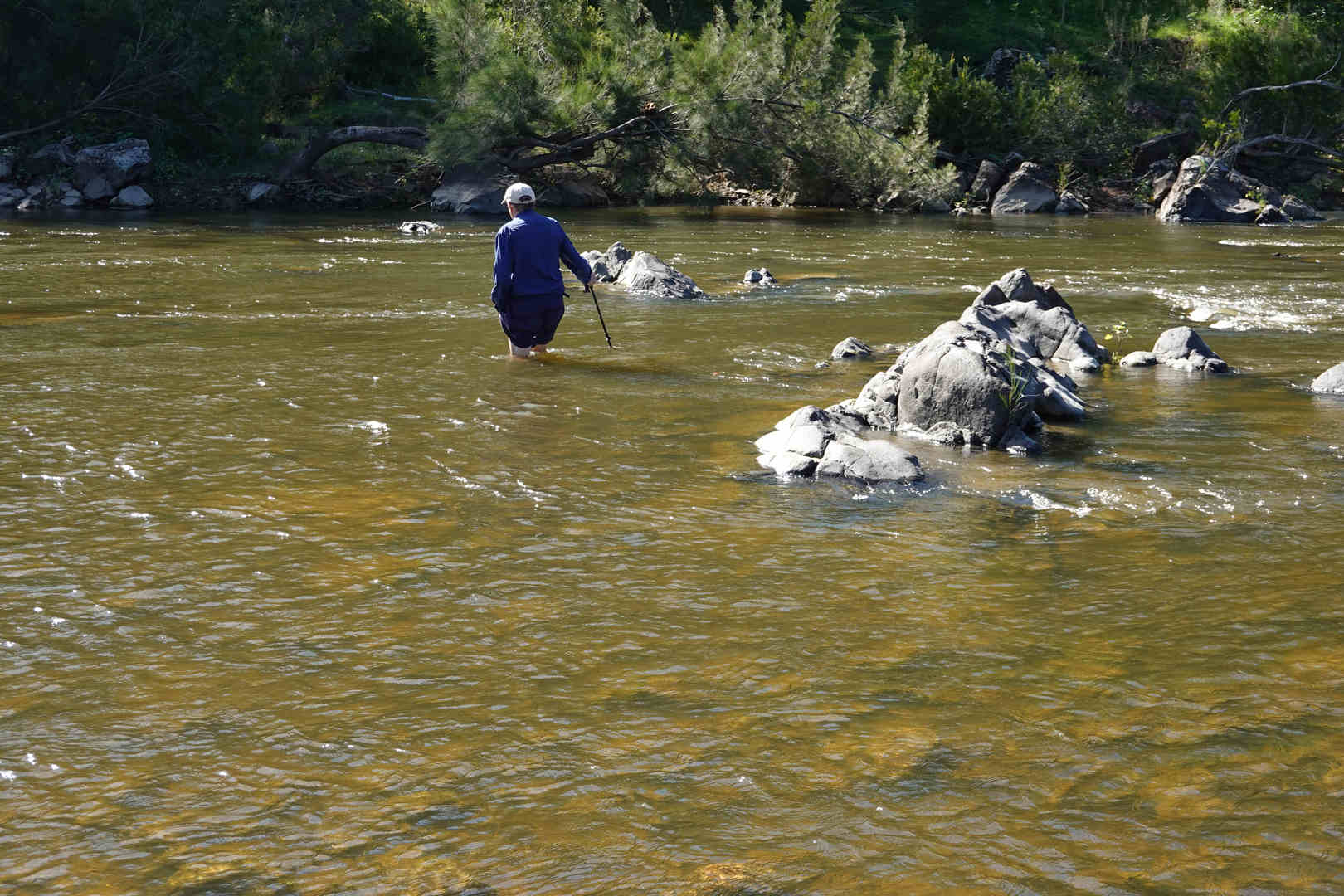
This walk is mainly on fire trails and goes from High Range, a farming community outside of Mittagong to a hill close to Murphy’s Crossing on the Wollondilly. We camped where you can see the stop mark on the map. This is also where we crossed the Wollondilly. On the first day of our food cache walk, we dropped our packs there and did the rest of the walk with the neatly packed food cache, snacks and some water.
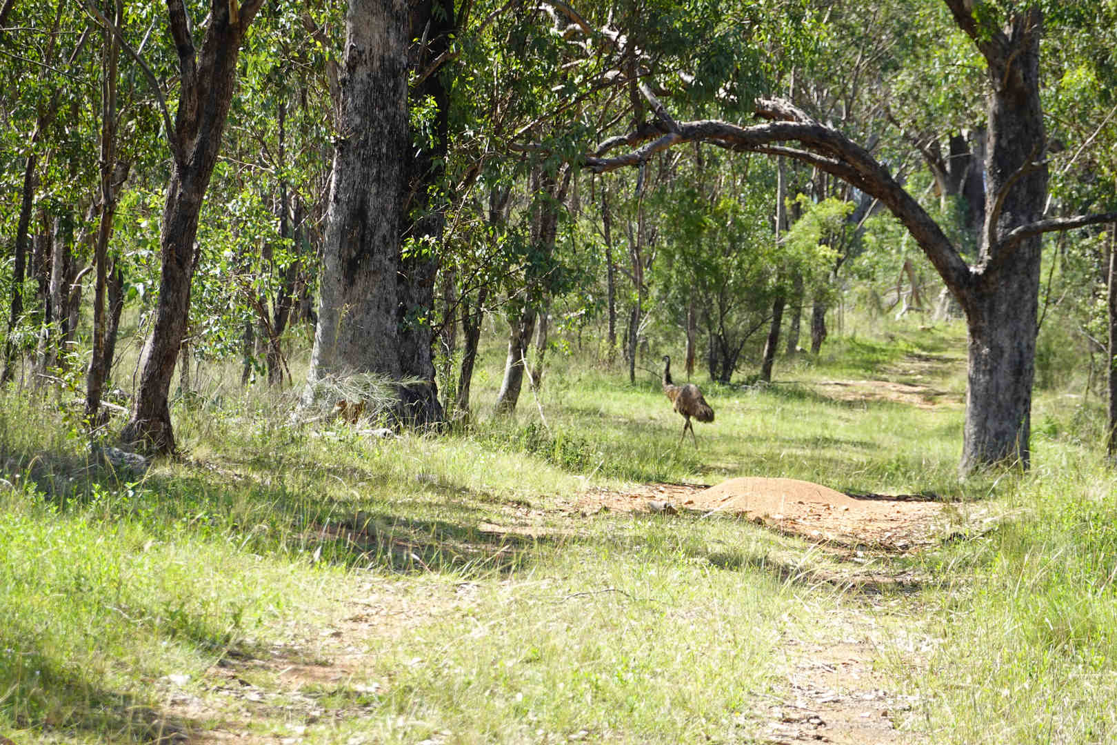
The walk was notable due to three things:

This is the day 1 hill profile. The initial descent doesn’t look too bad on the hill profile, but in real life it is steep enough that you are at constant risk of slipping down the fire trail, which John did at one stage and broke his walking pole. On the return trip we met a couple of locals driving up the hill in their 4WD vehicles. We stopped and had a chat with one vehicle. Unfortunately they couldn’t fit us in. In any case we were 2/3 the way to the top by then.