South Coast Track - Day 1
Melaleuca Airstrip to Point Eric
- 13 kms
- 2 hours 30 mins
- Total ascent 105m
- Total descent 154m

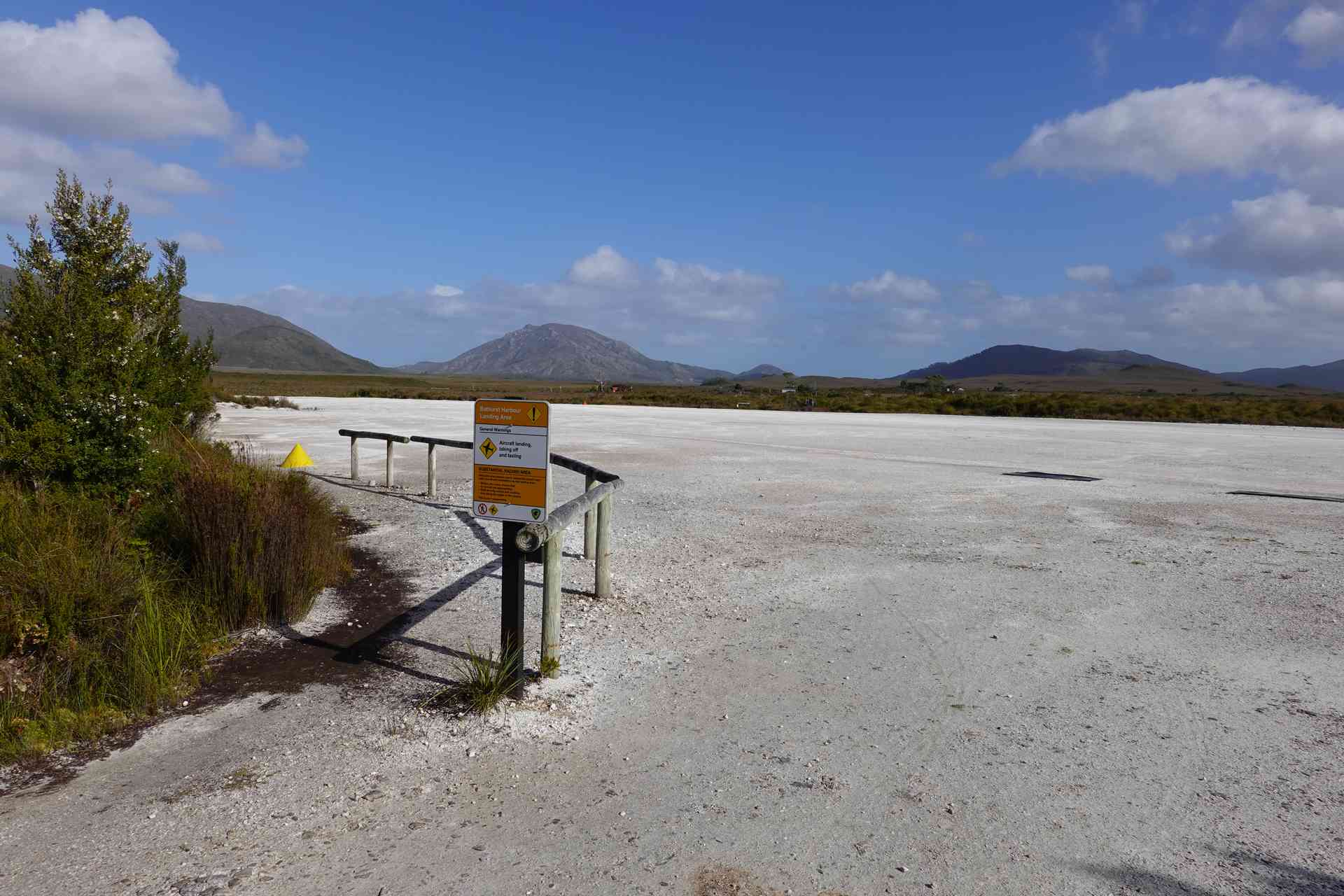
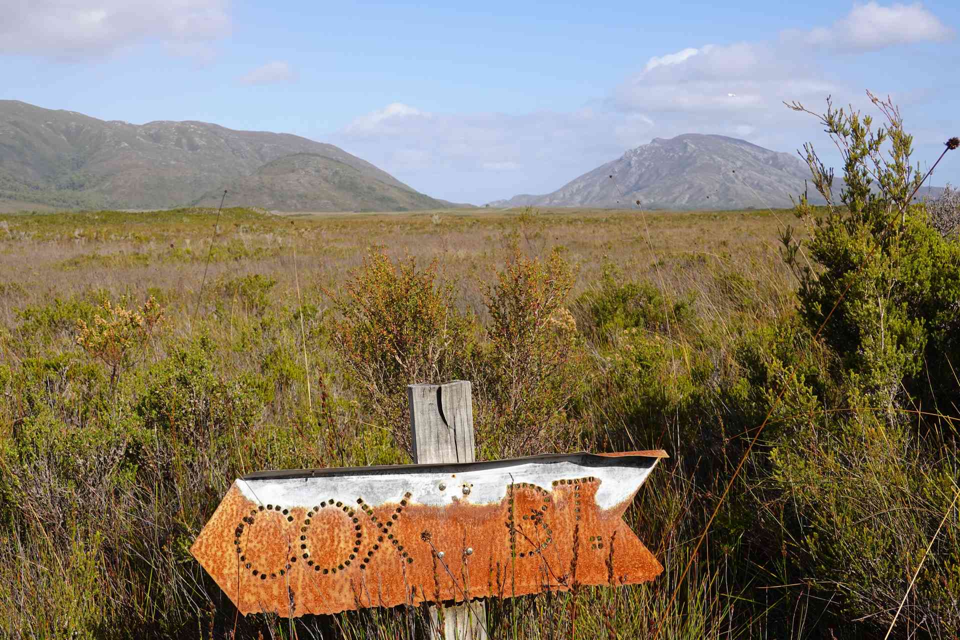
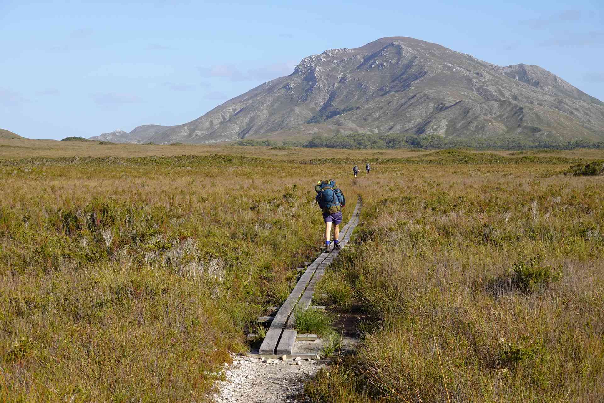
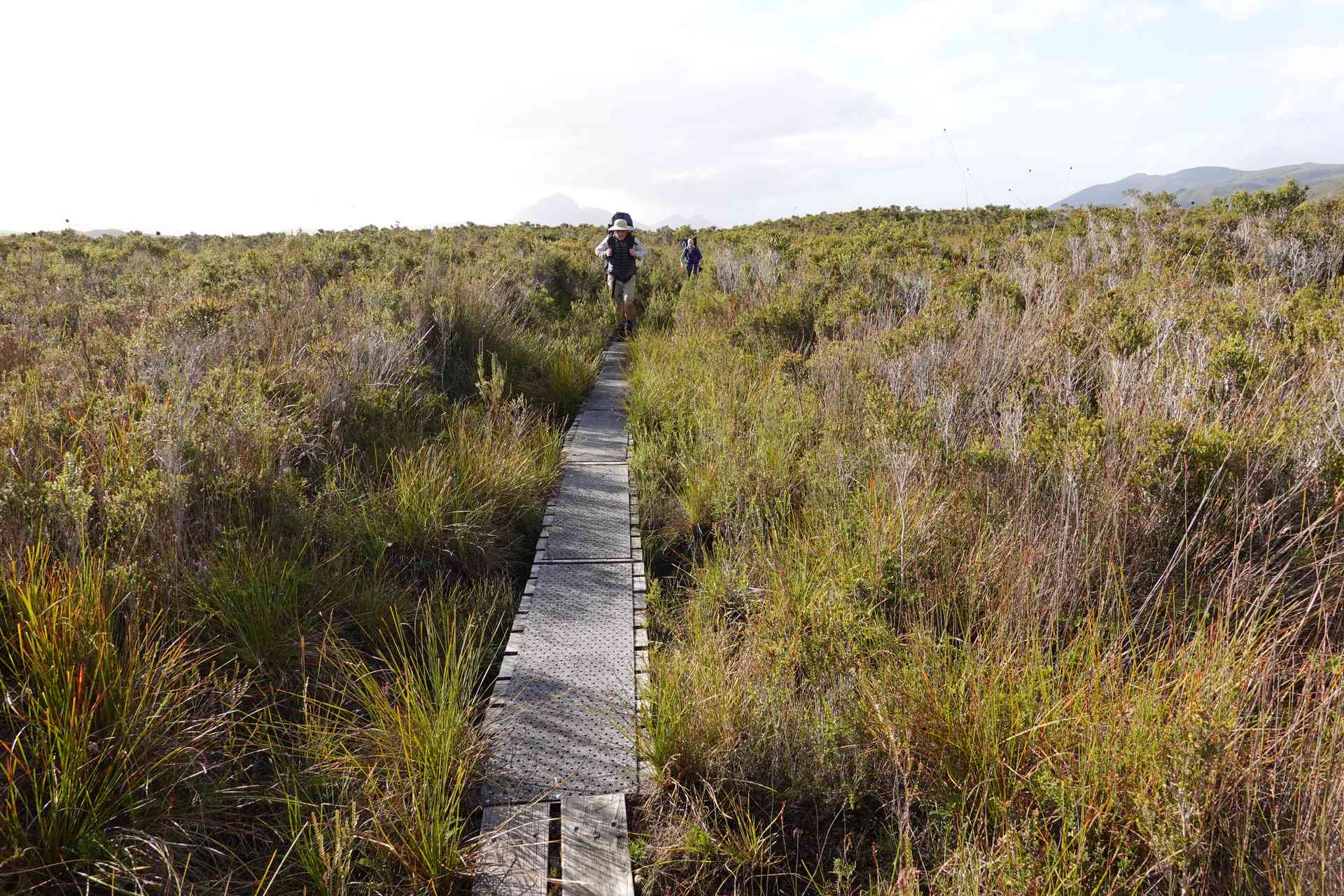
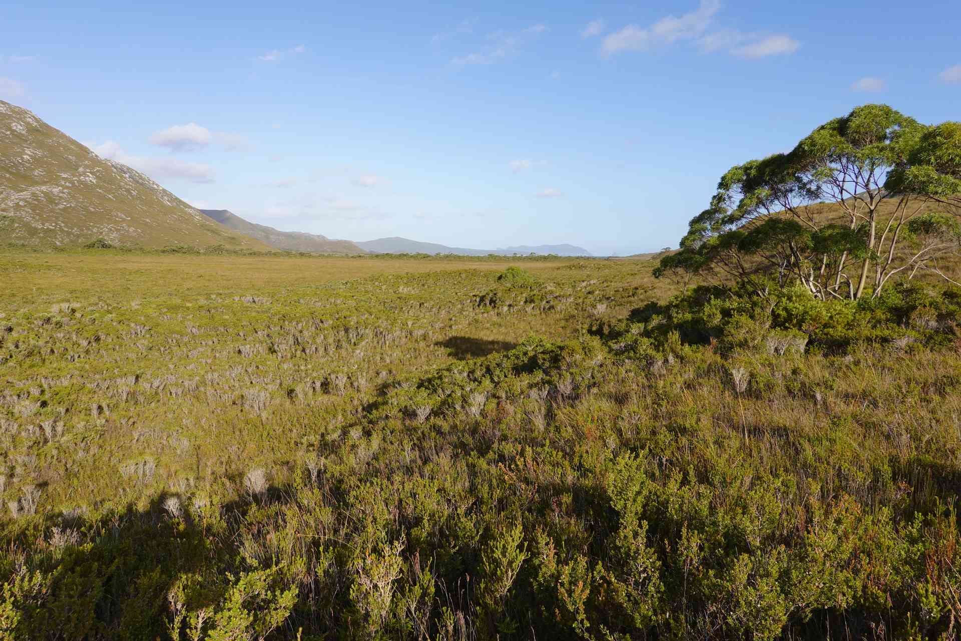
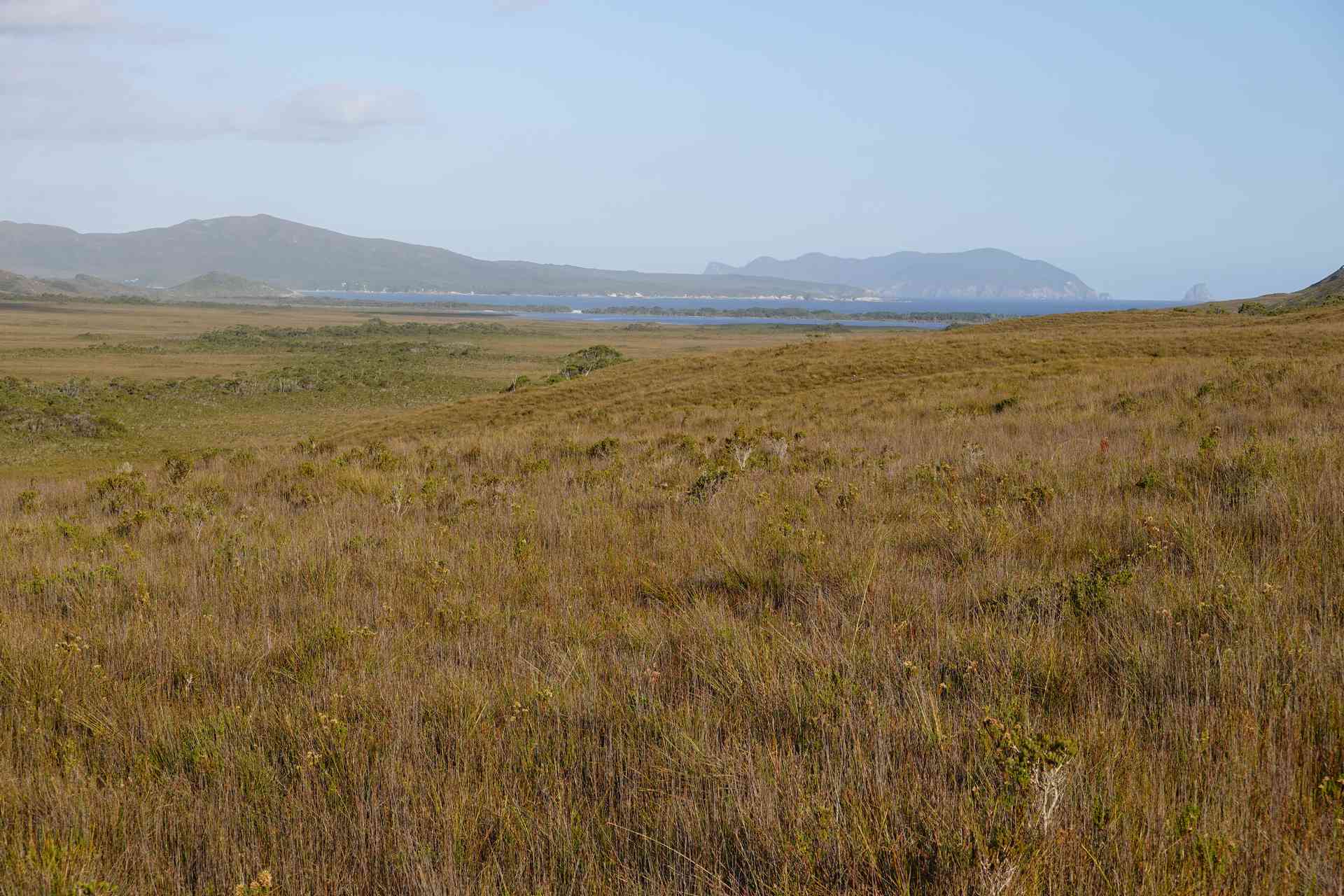
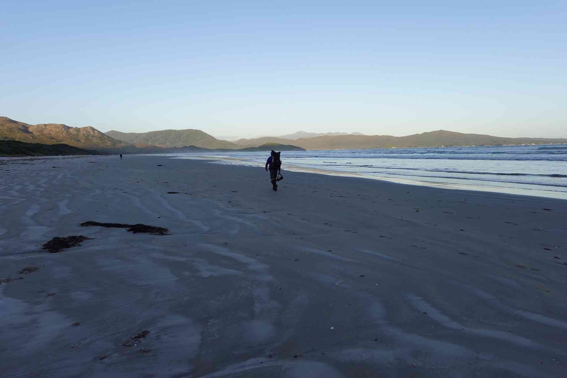
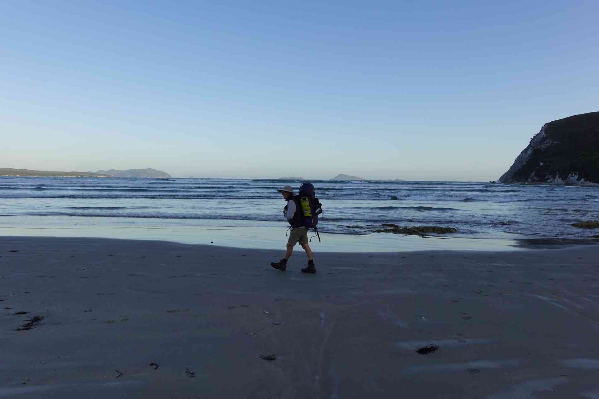
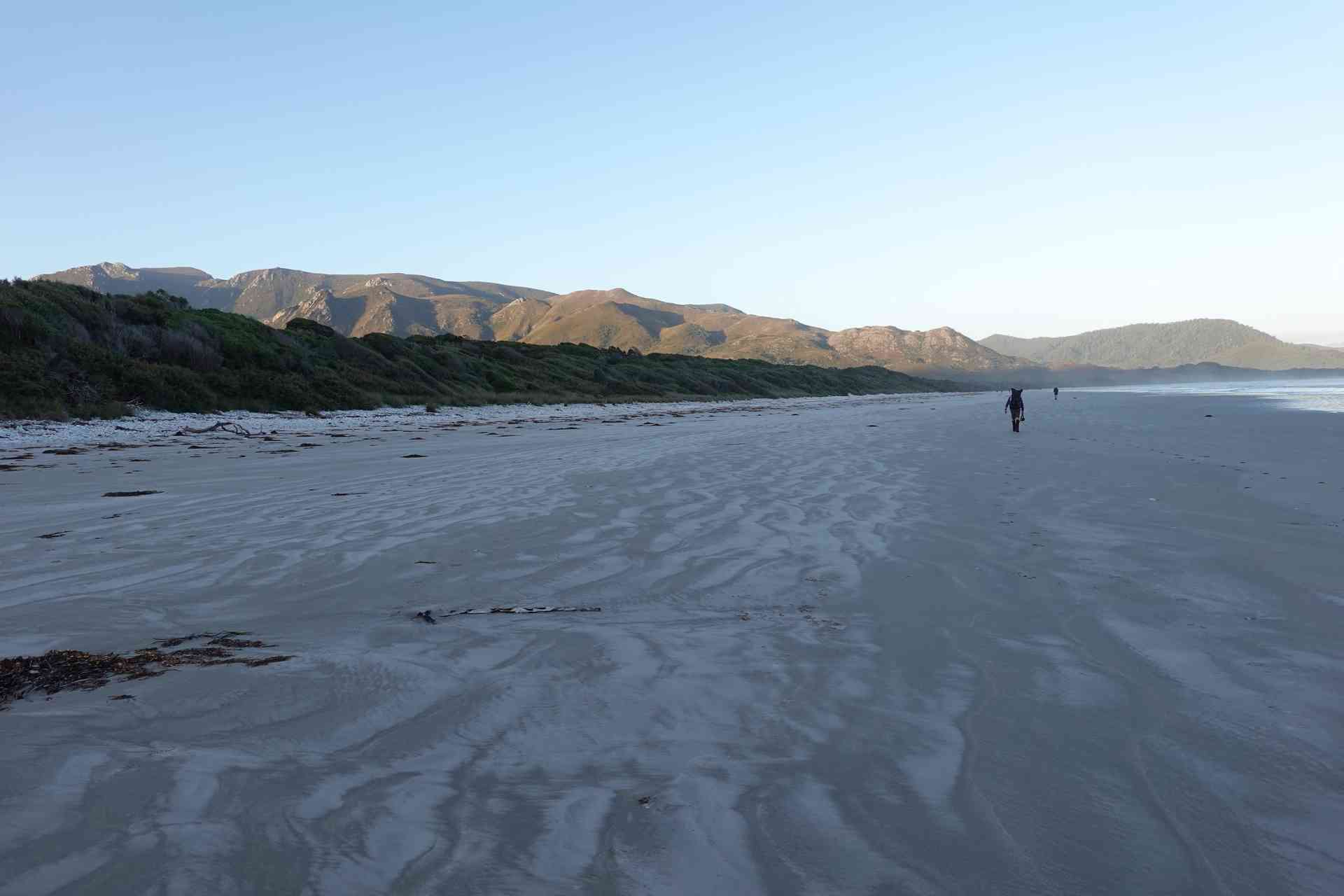
The track from Melaleuca to Point Eric is normally a pretty straightforward, flattish, 13 km walk on a combination of duckboard and good track.
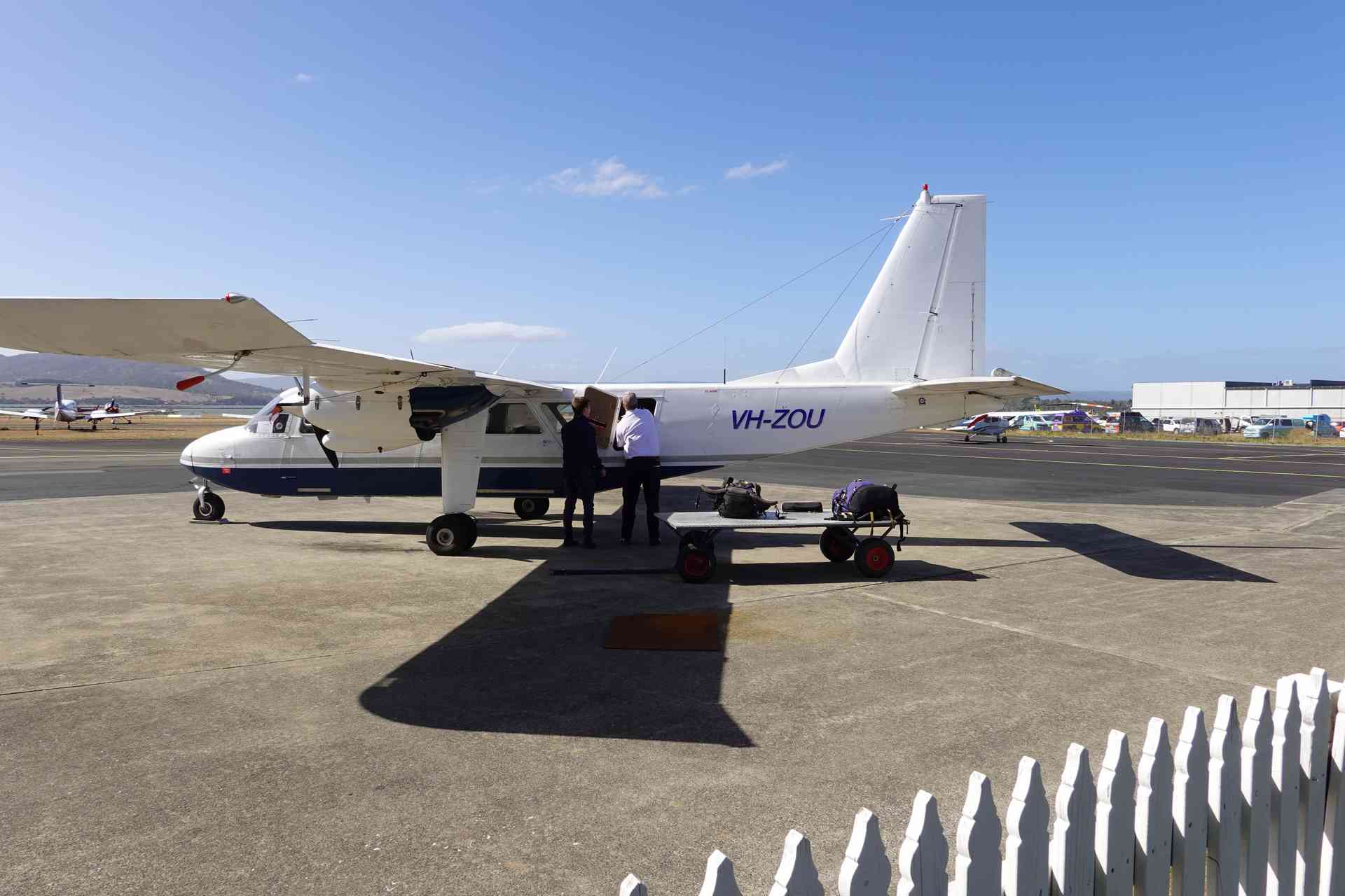
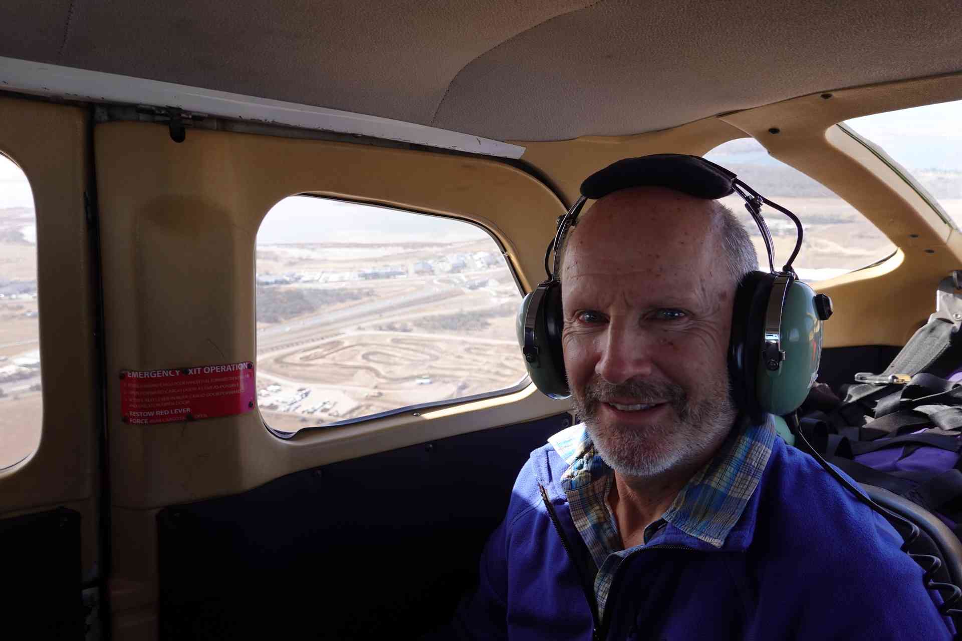
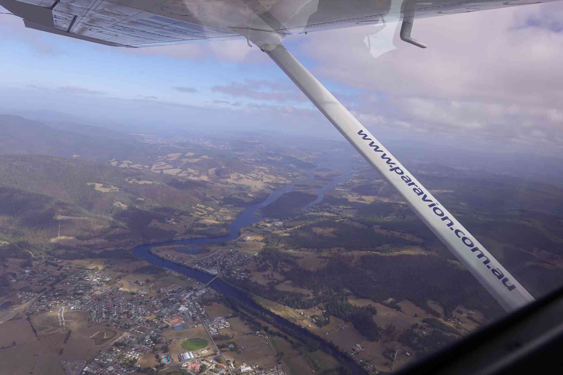
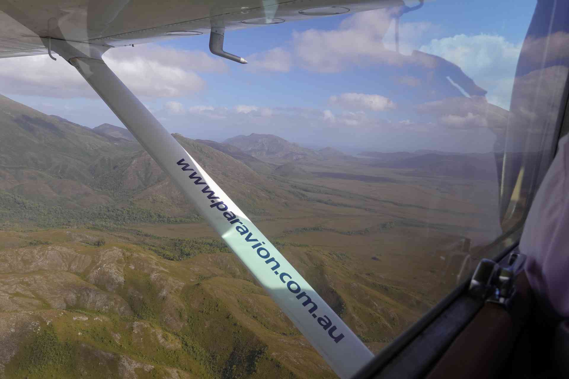
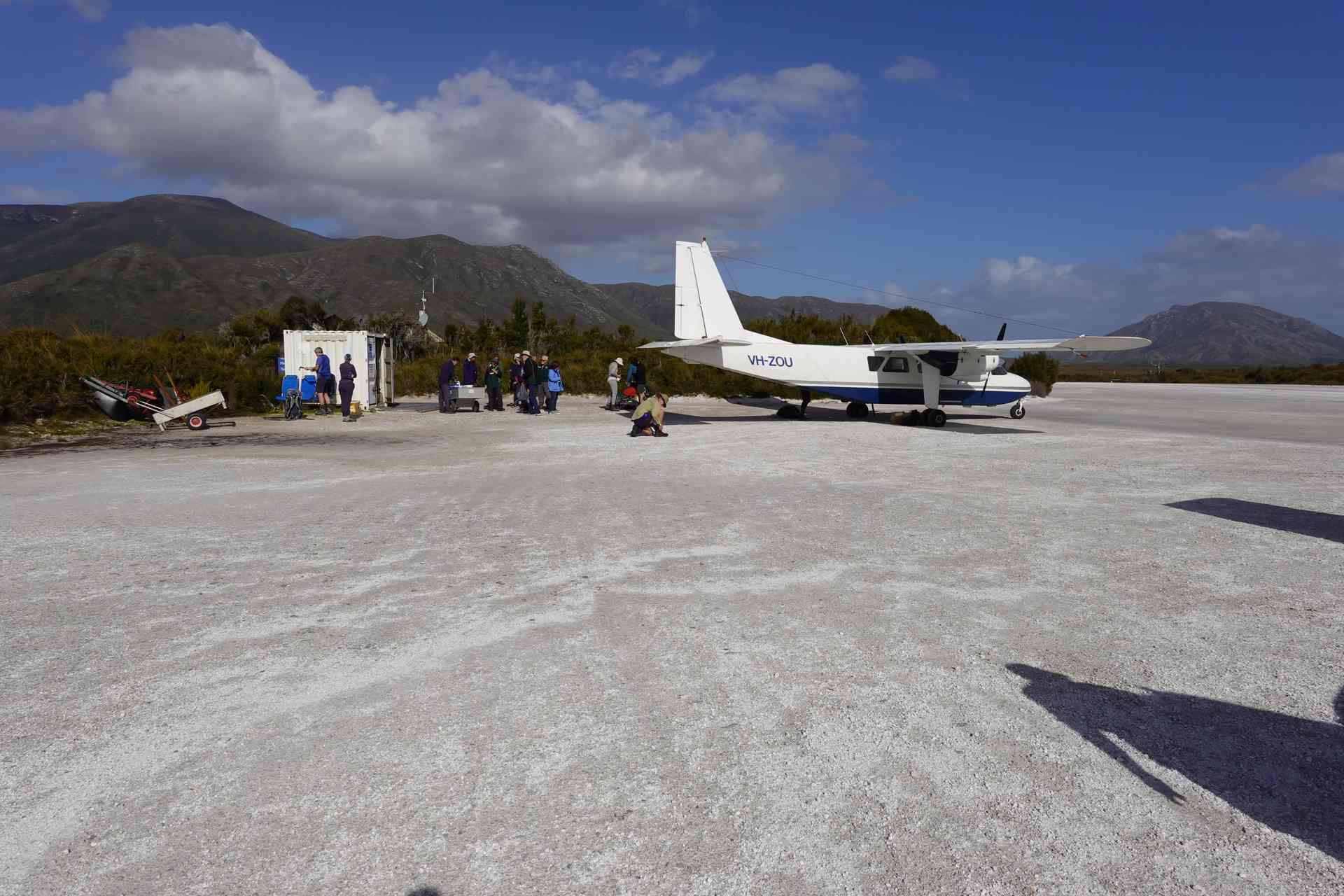
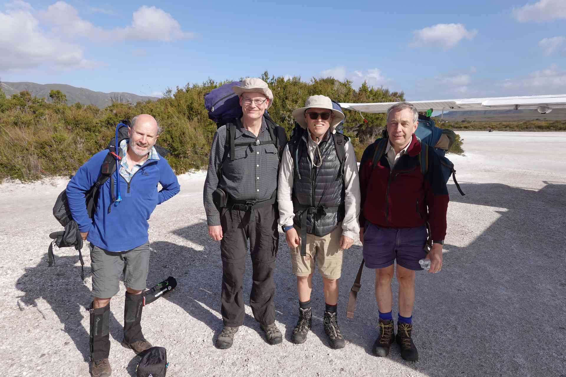
The problem for us was that the only way to get to Melaleuca is to fly and you are somewhat dependent upon the only airline that flies there, Par Avion. In our case the flight was originally scheduled to depart Hobart at 2:30pm. We then got notified that due to “weather conditions” the flight had been pushed back and would not lift off until 3:30pm. The problem with a later departure is that you still have to complete the 13km walk before dark. The recommended walking time for this section is 3 to 4 hours. (I strongly suspect our flight was delayed for profit maximising, rather than “weather” issues, since there was a large group ready to come out when we landed, that probably would not have been ready an hour earlier.
Having done this walk before, I knew it could be completed in less than 3 hours. When John and I did the walk in 2002 we walked this section quite quickly to make sure we were in camp before a predicted storm rolled through.
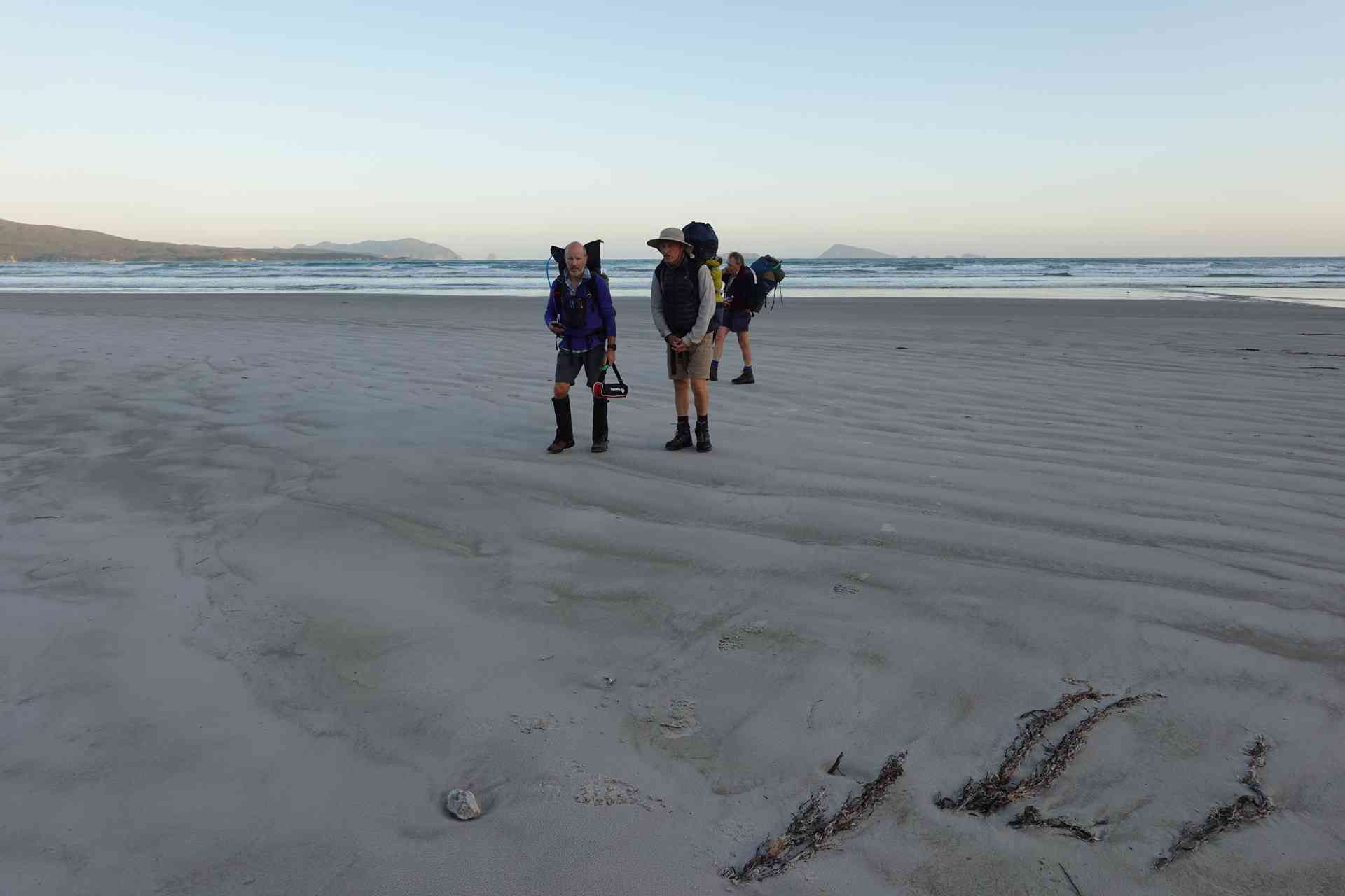
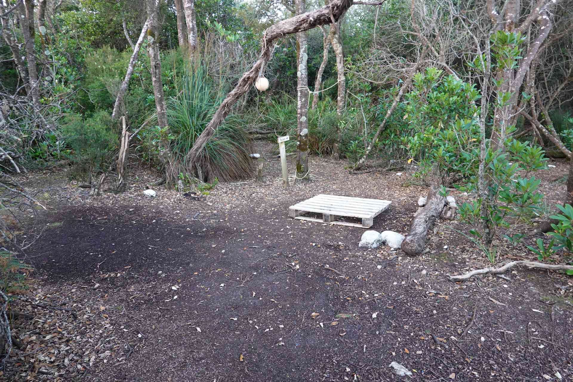
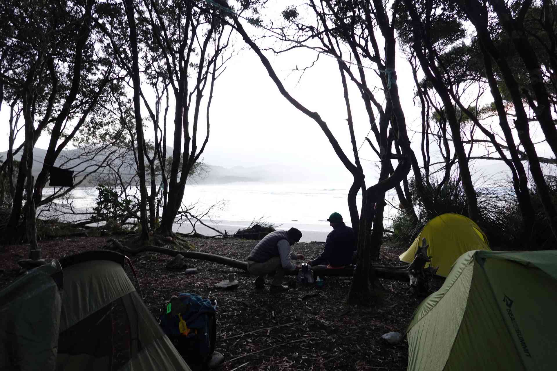
As it turned out we started walking at 4:40pm and it took us just over 2:30 hours to walk to Pt Eric. We got in about 7:15pm, still with 40 minutes of light to set up tents, have a quick look around and get a cup of soup on the go.
Day 1 - Hill Profile
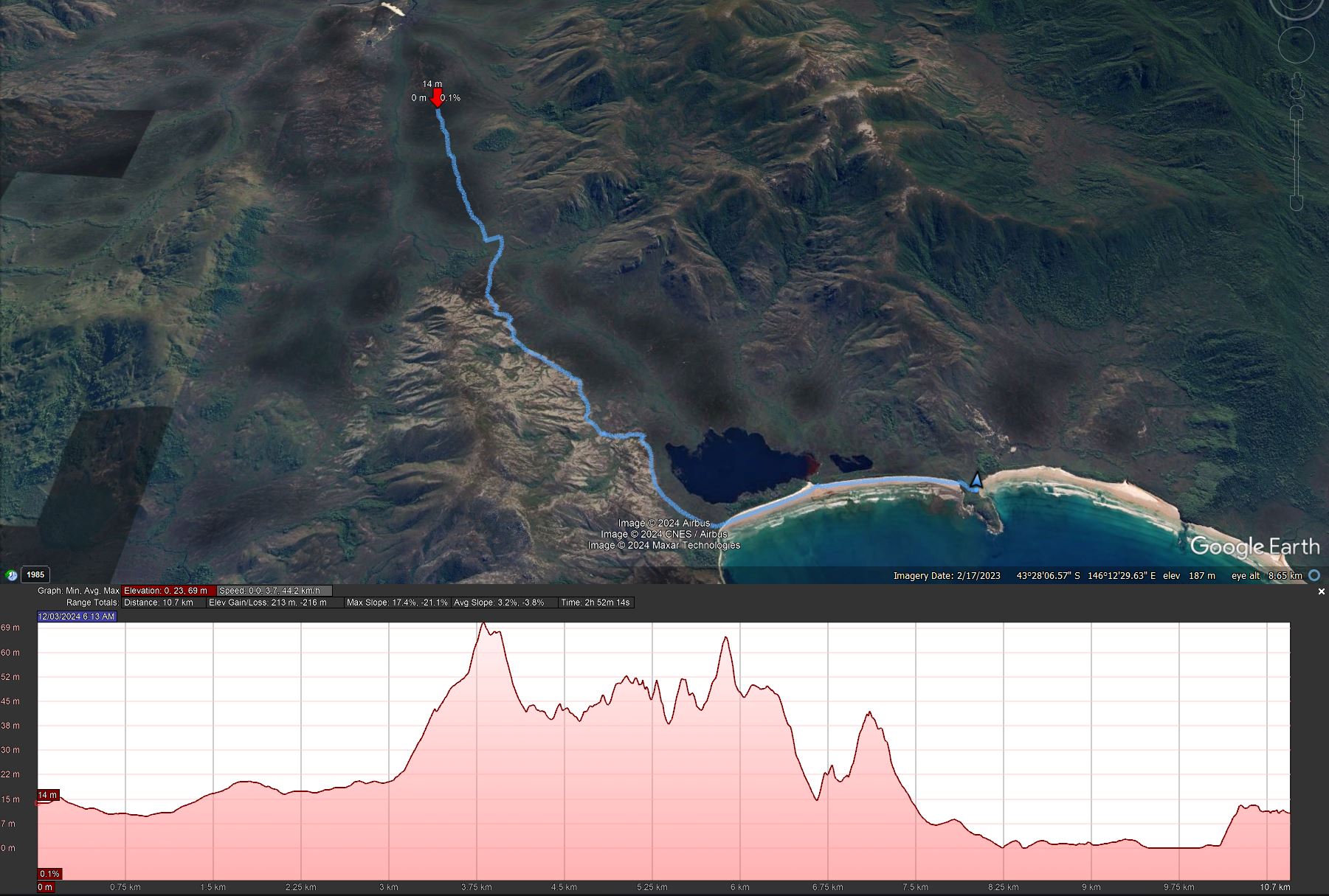
The hill profile above looks a bit daunting but the high point here is only 69m, which hardly had us breaking stride as we walked from the airstrip at Melaleuca towards the coast.