South Coast Track - Day 2
Point Eric to Louisa River
- 18.4 kms
- 6 hours 28 mins
- Total ascent 430m
- Total descent 481m

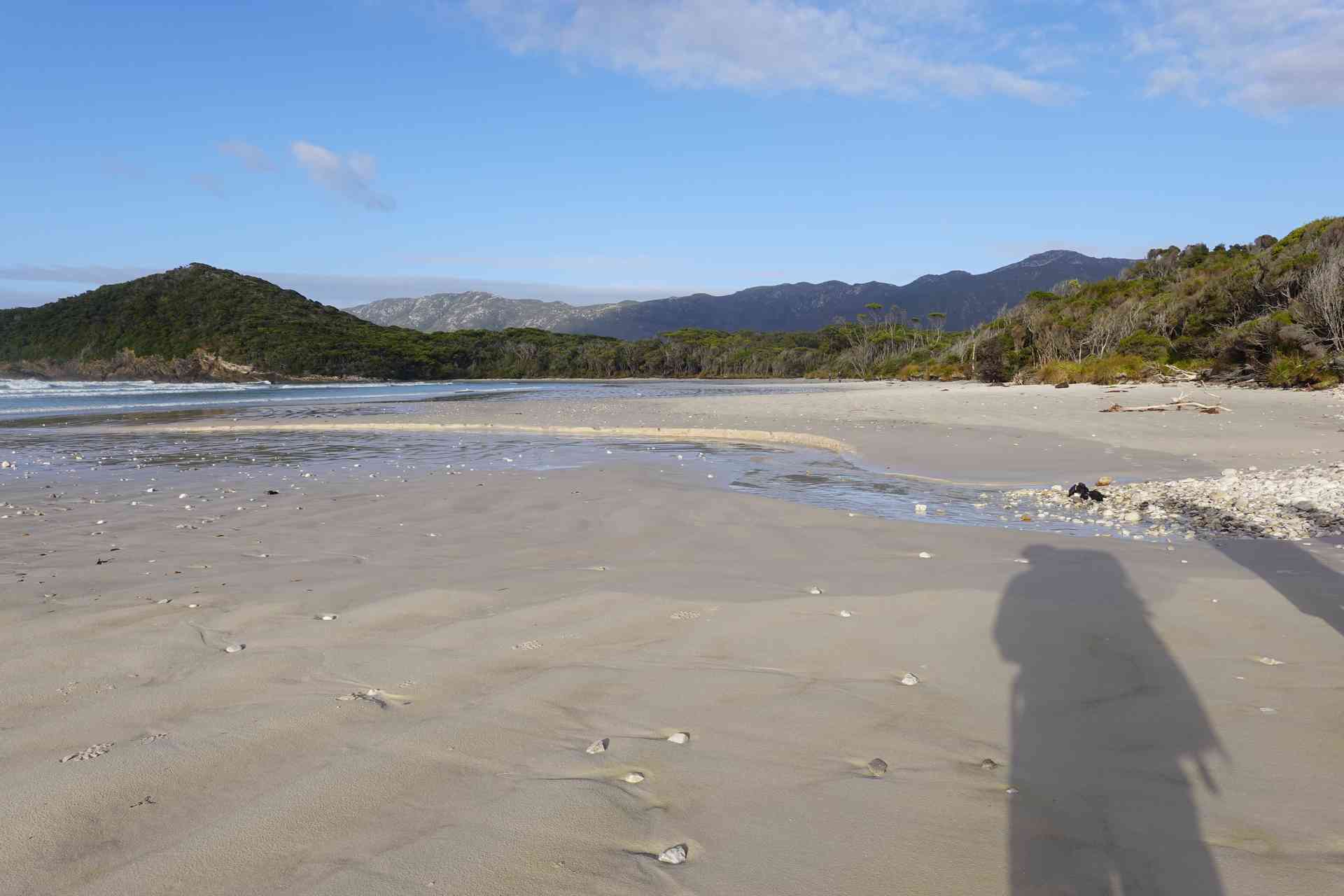
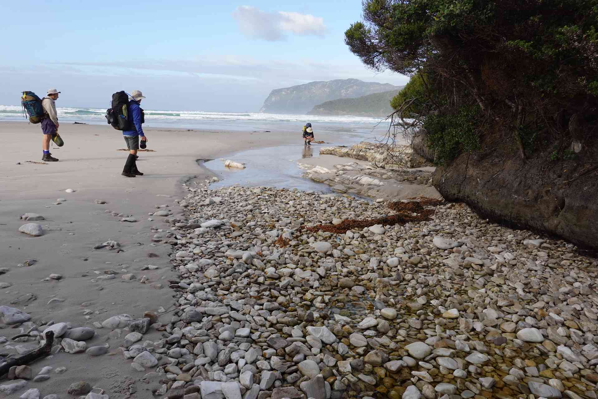
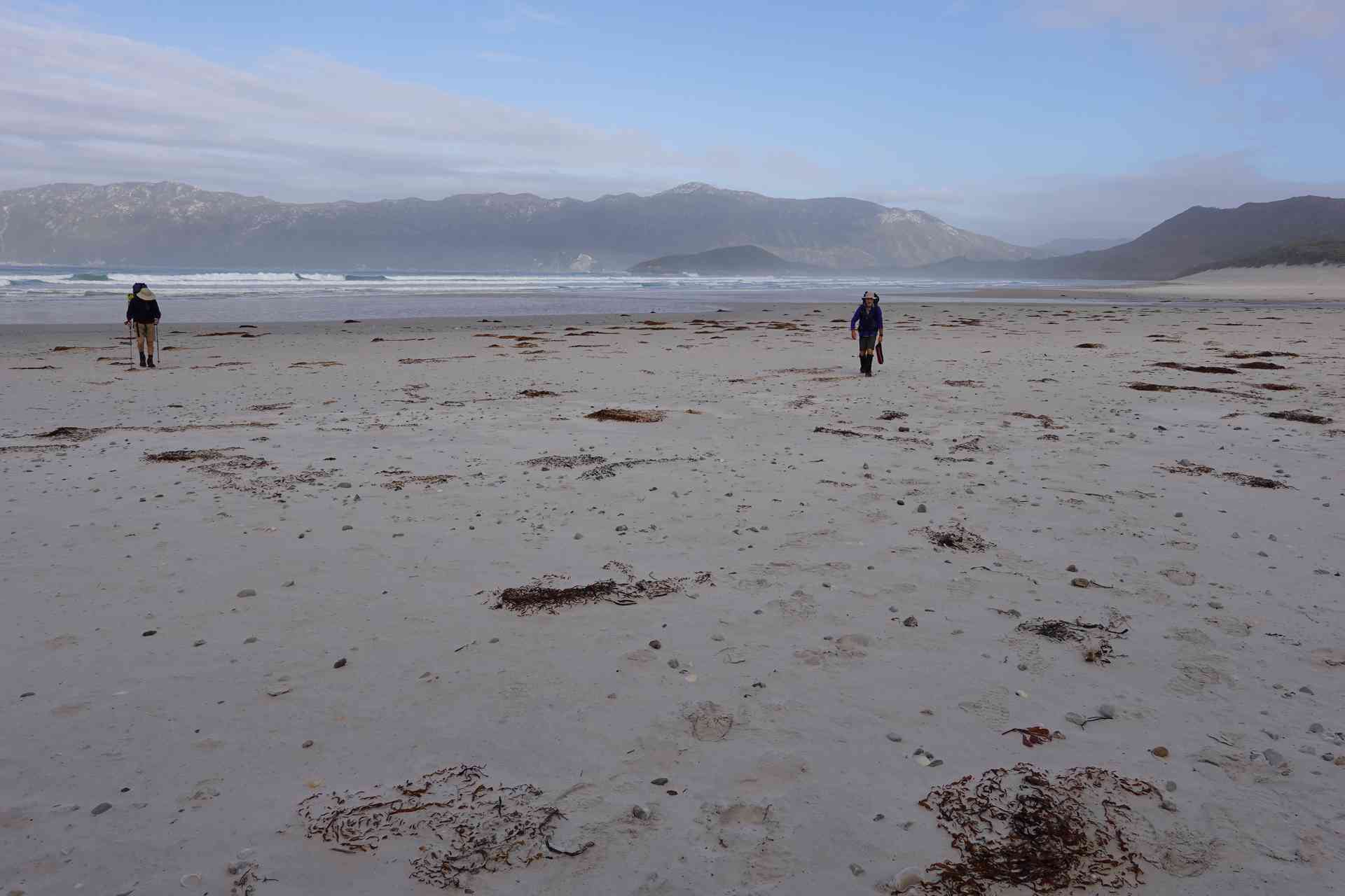
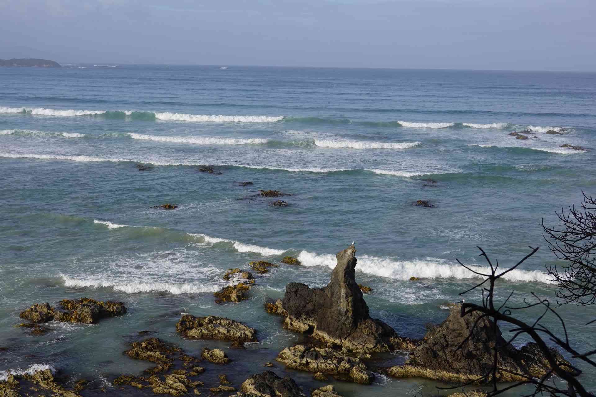
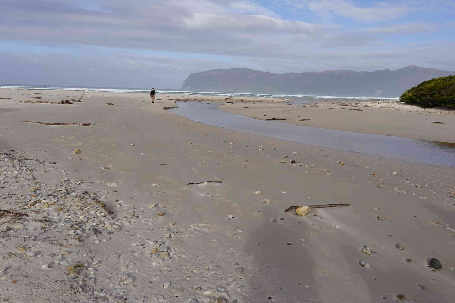
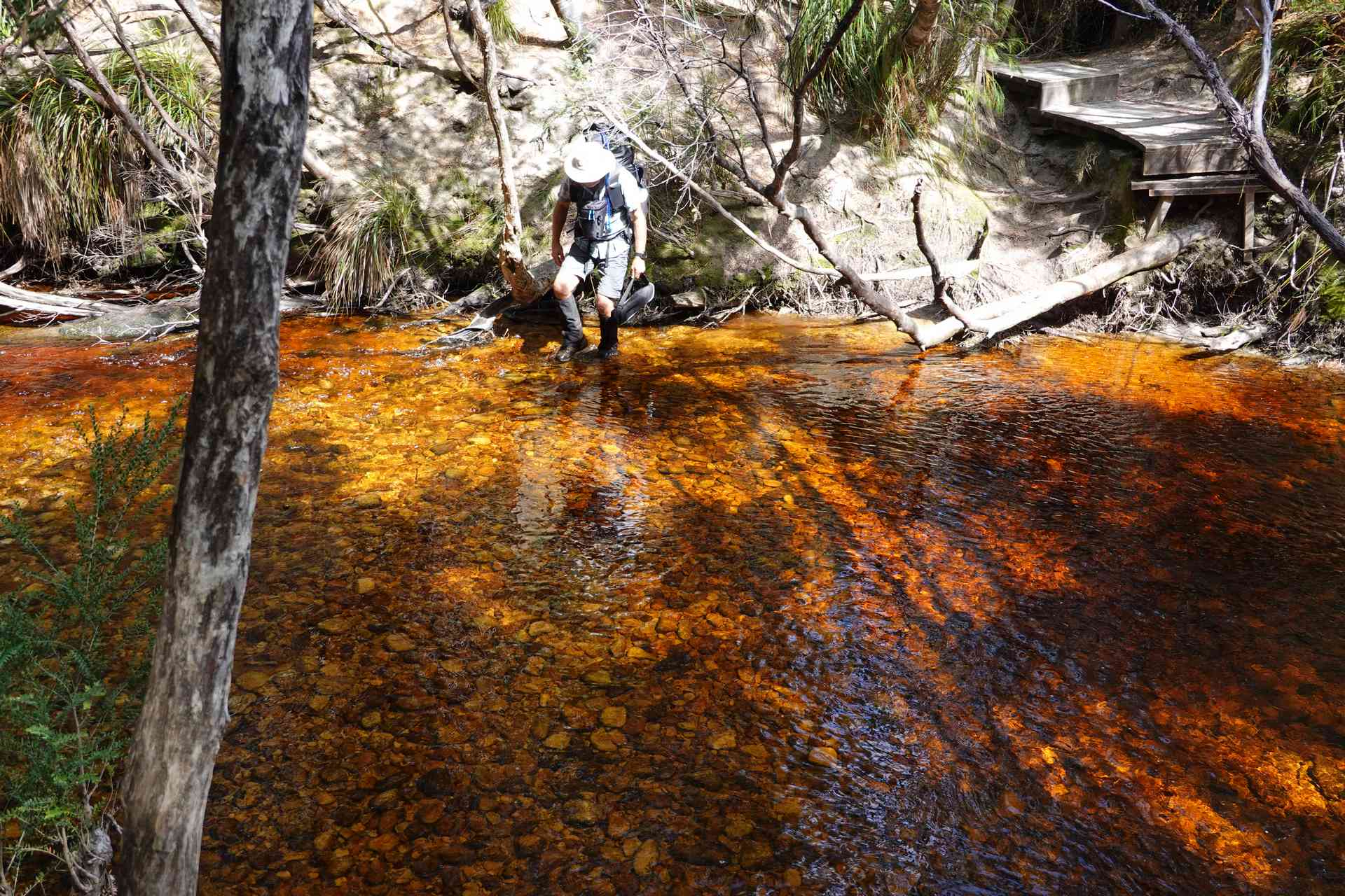
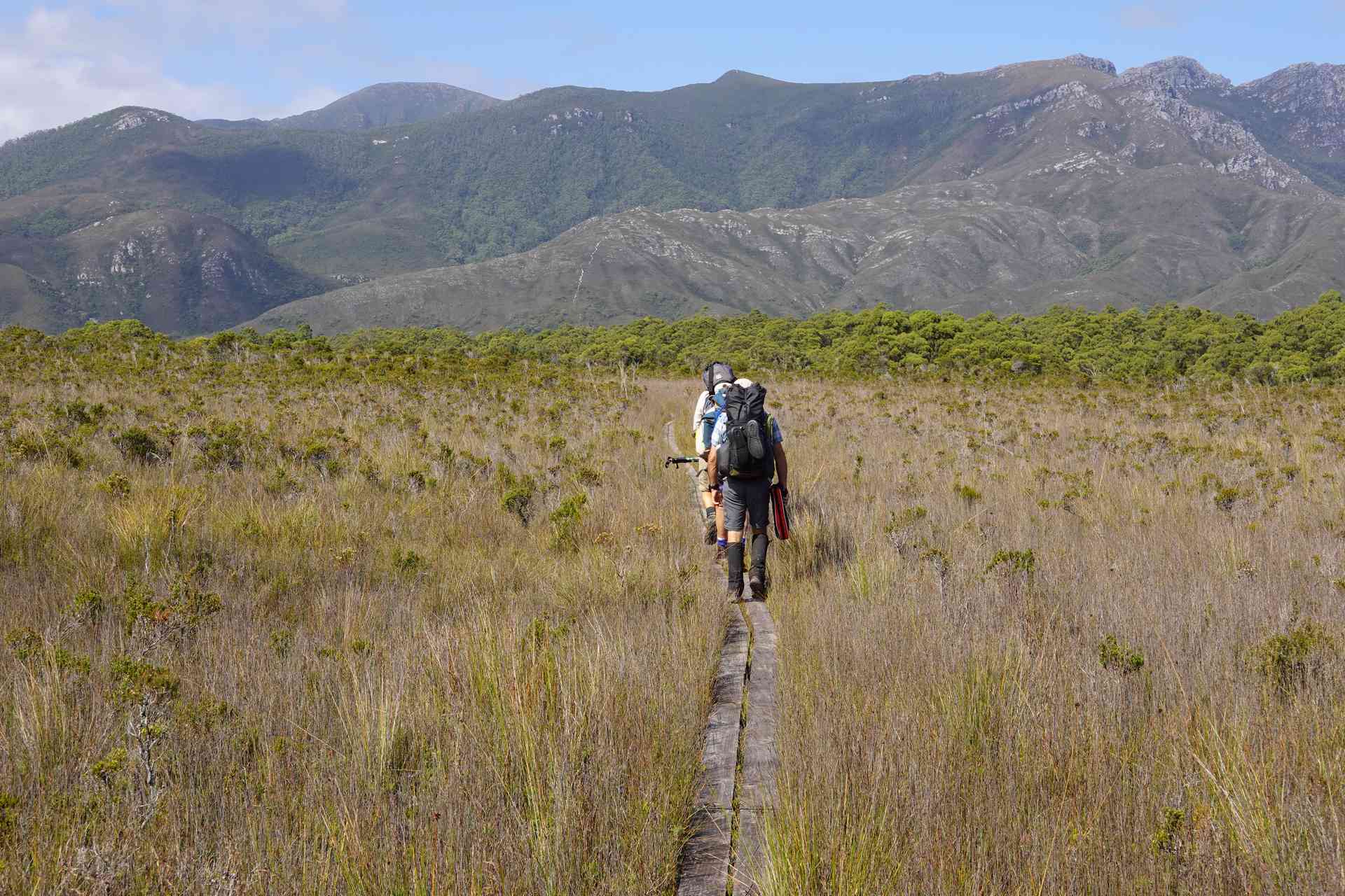
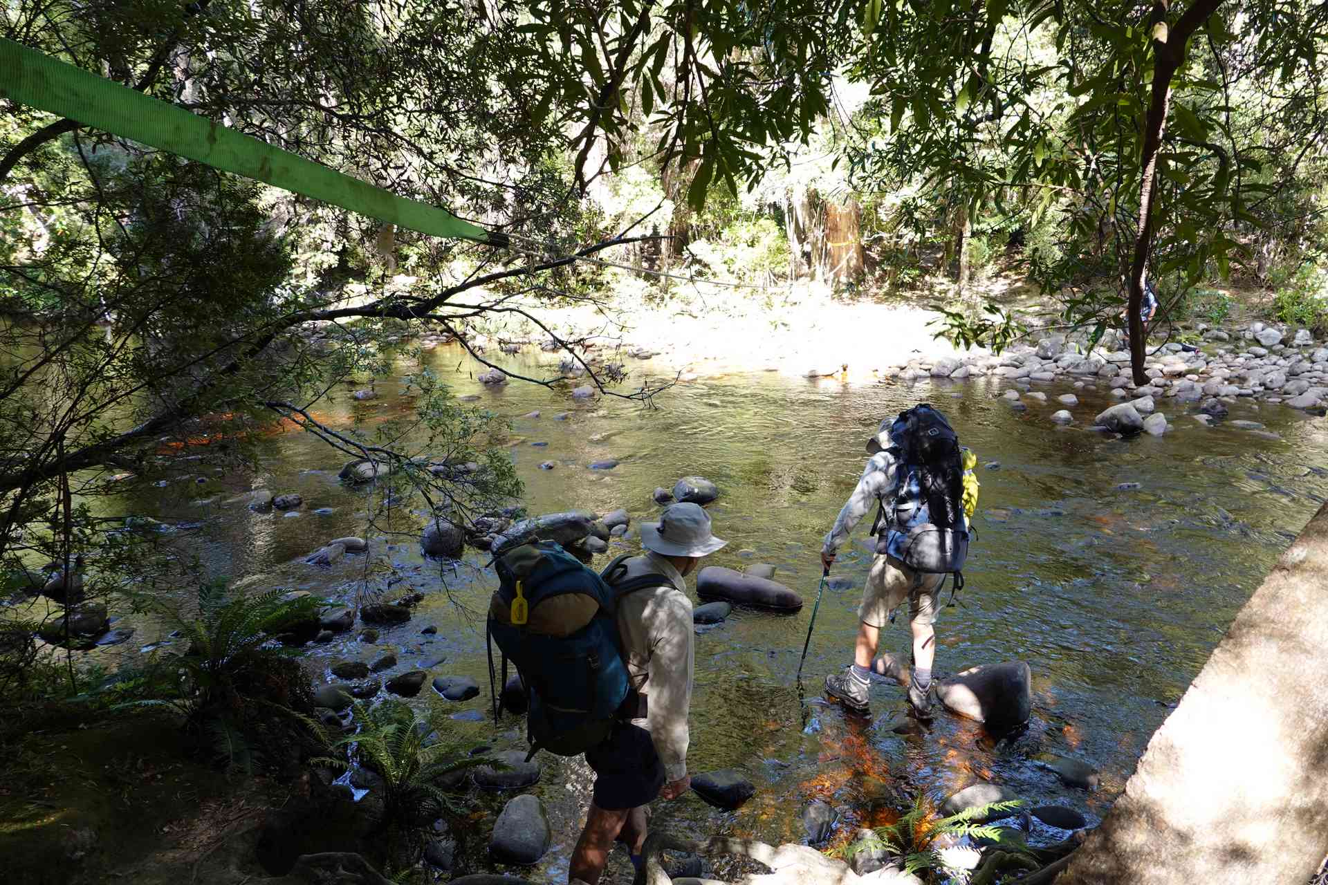
The track from Point Eric to Louisa River is an easy, if longish, day. The days starts with an easy walk along the beaches of Cox Bight and then you turn left (North East) towards the Red Point Hills and the only significant climb for the day. In our case there was a lot of duckboard allowing us to keep our feet dry.
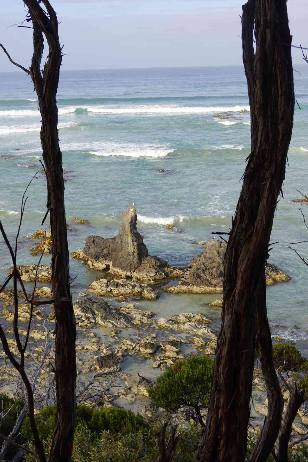
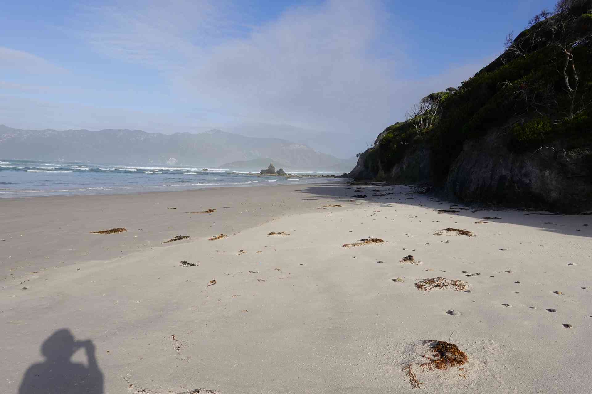
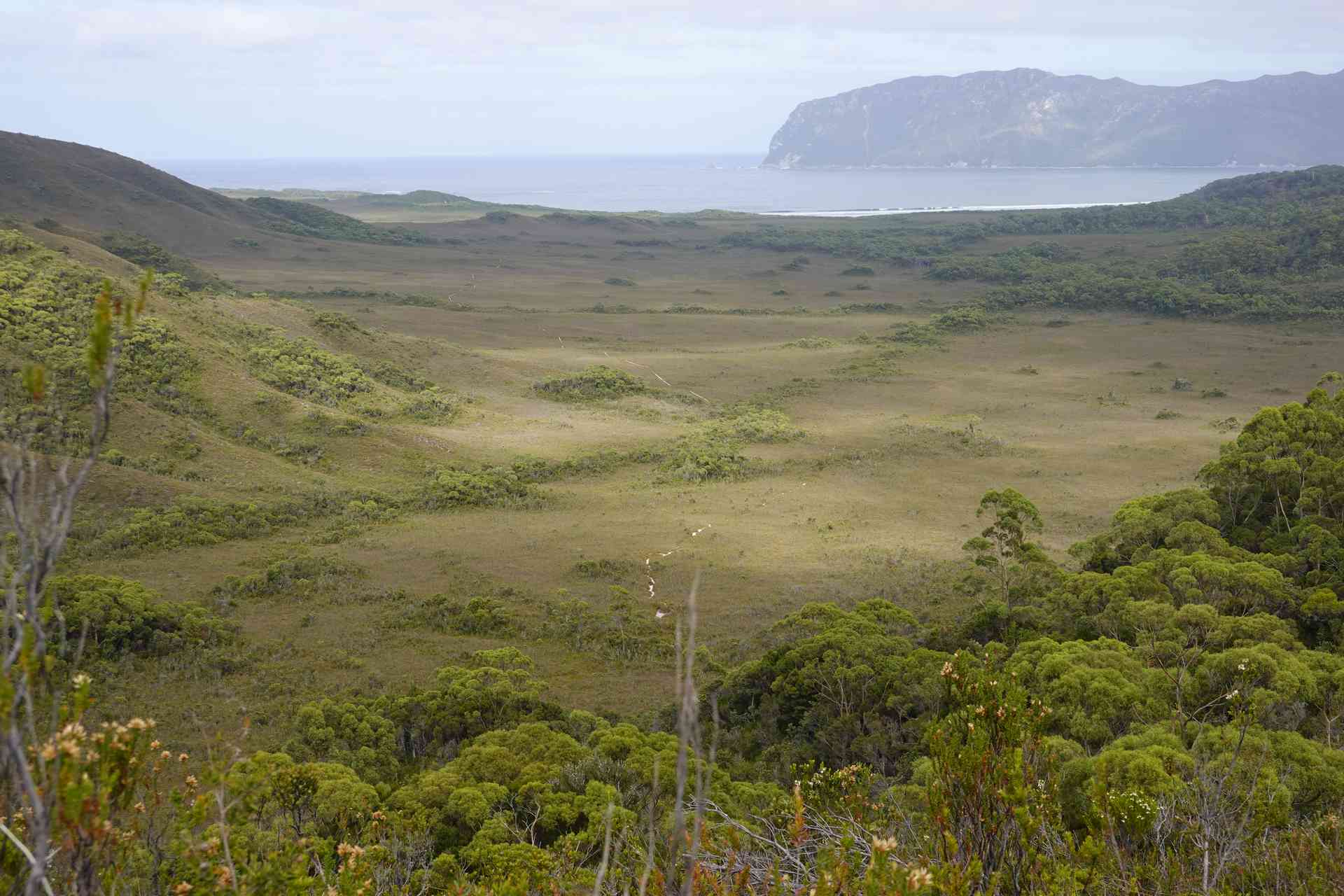
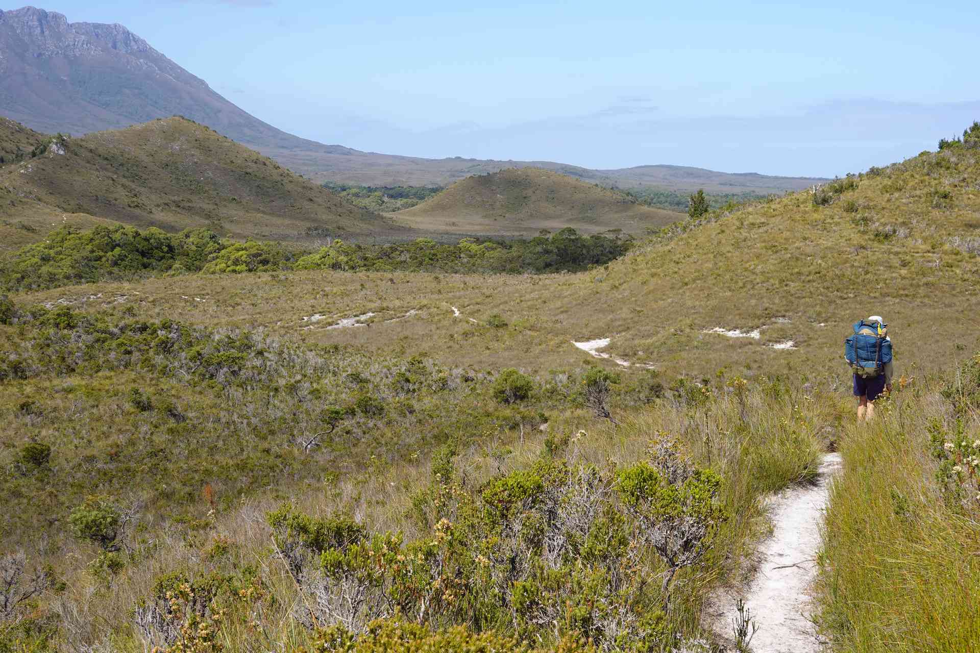
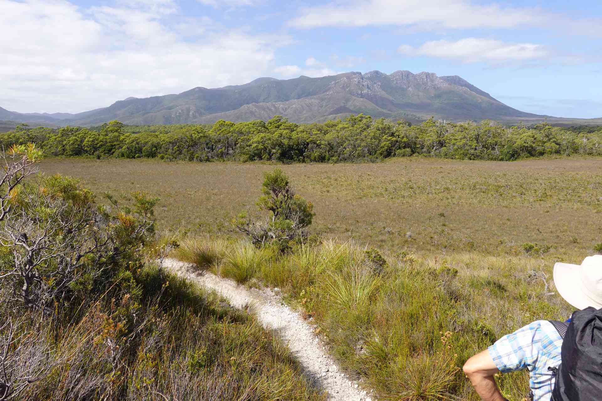
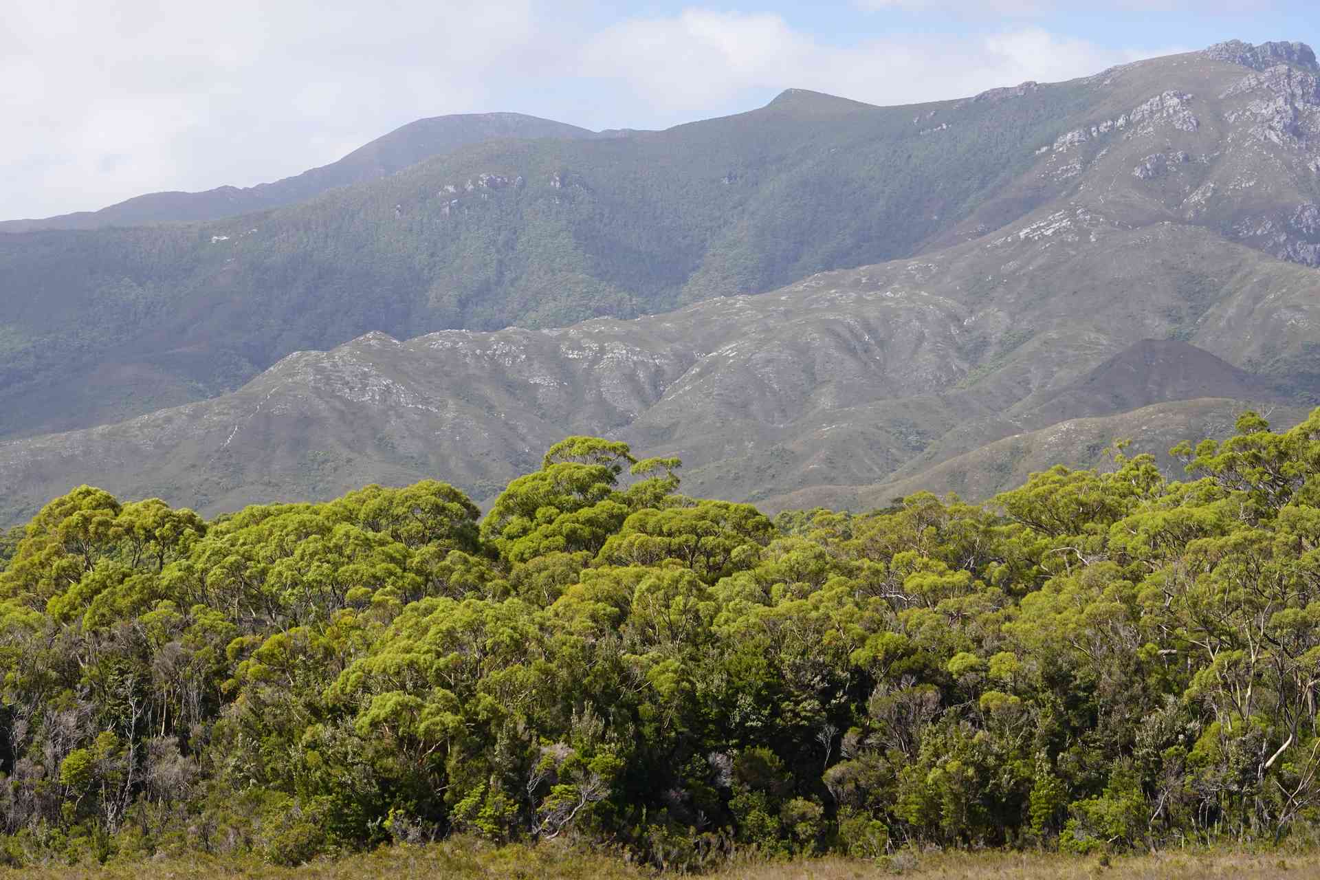
One of the features of this day is great views. Great views of both where you have come from and where you are going. Once you pass over the Red Point Hills you can clearly see what is in store for Day 3 with the climb over the Ironbound Range. In the photo above you can clearly see the trees that hide the Louisa River campsite and you can also see the Ironbound Range. If you look closely you can see the start of the steep track up the Ironbound Range just to the left of centre of the photo.
Day 2 - Hill Profile
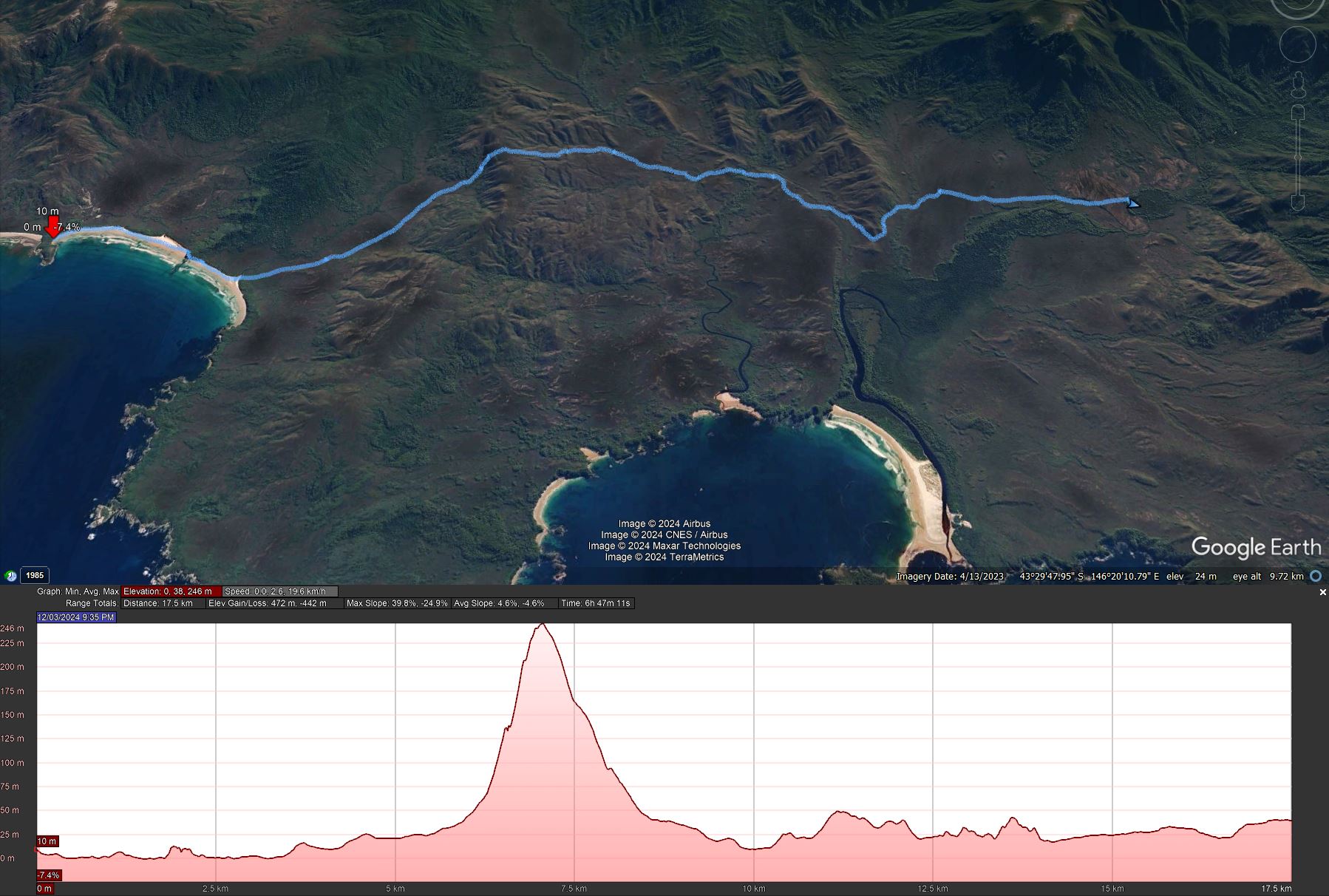
This day’s walk is dominated by the crossing of the Red Point Hills at a height of 246m.